Umuahia night lights from space
Night Light of Umuahia (Abia) from space (Nigeria) Src. Average luminocity for 10x10km area is 18.874% and for 50x50km: 0.8735%.
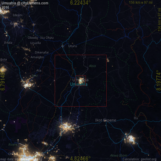
Analysis of Umuahia night lights 2016
Square area 10x10 km:
 0%
0%90-99
2.07%80-89
1.24%70-79
5.17%60-69
2.27%50-59
5.79%40-49
2.07%30-39
4.96%20-29
3.72%10-19
3.1%0-9
69.63%Square area 50x50 km:
0%90-99
0.09%80-89
0.05%70-79
0.21%60-69
0.09%50-59
0.24%40-49
0.09%30-39
0.21%20-29
0.19%10-19
0.23%0-9
98.6%Clear (daylight) street map image can be seen on geolist.org.
Map coordinates:
6° 13' 27.6" North, 6° 47' 29.4" East
5° 31' 29.7" North, 7° 29' 40.6" East
4° 49' 28.8" North, 8° 11' 51.9" East
Some cities around Umuahia sort by population:
• Ikot Ekpene
45.3 km =28.1 mi,  147°
147°
• Amaigbo
48.1 km =29.9 mi,  52°
52°
• Okigwe
37.4 km =23.2 mi,  334°
334°
• Bende
15.8 km =9.8 mi,  76°
76°
• Ohafia-Ifigh
36.5 km =22.7 mi,  74°
74°
• Arochukwu
48.6 km =30.2 mi,  108°
108°
• Iho
44.2 km =27.5 mi,  278°
278°
• Ake-Eze
48 km =29.8 mi,  24°
24°
2320576 (p: 264,662)
Sources (retrieved 2019-11-25):
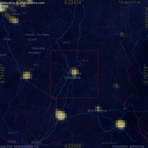
» NASA, Earths city lights 1995
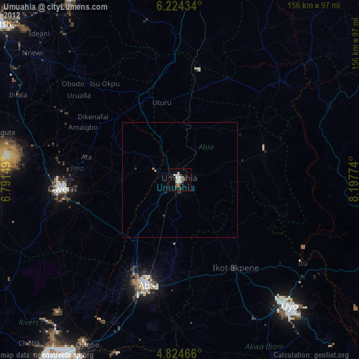
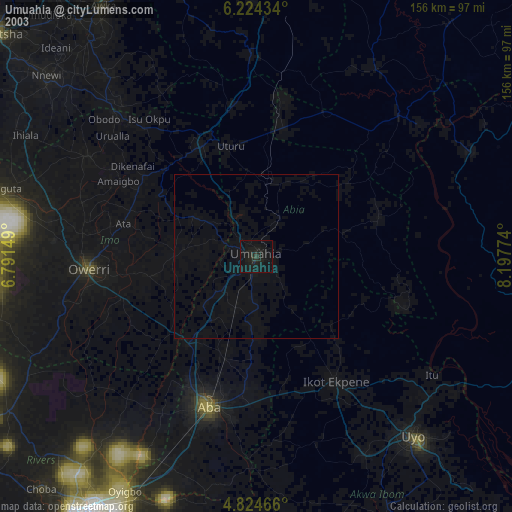
» NASA city lights 2003
» Earth at Night: Flat Maps 2012, 2016