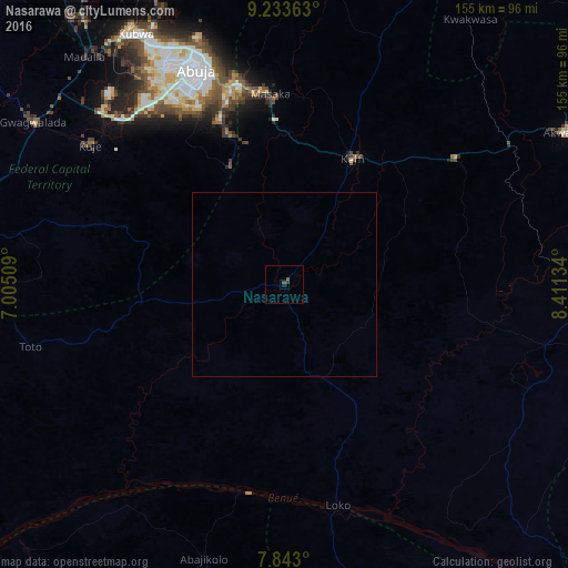
Nasarawa night lights from space
Night Light of Nasarawa (Nassarawa) from space (Nigeria) Src. Average luminocity for 10x10km area is 1.2293% and for 50x50km: 0.0501%.

Analysis of Nasarawa night lights 2016
Square area 10x10 km:
100  0%
0%
90-99 0%
80-89 0%
70-79 0%
60-69 0%
50-59 0.21%
40-49 1.45%
30-39 0.83%
20-29 0%
10-19 0.83%
0-9 96.69%
0%90-99
0%80-89
0%70-79
0%60-69
0%50-59
0.21%40-49
1.45%30-39
0.83%20-29
0%10-19
0.83%0-9
96.69%Square area 50x50 km:
100 0%
90-99 0%
80-89 0%
70-79 0%
60-69 0%
50-59 0.01%
40-49 0.06%
30-39 0.03%
20-29 0%
10-19 0.03%
0-9 99.87%
0%90-99
0%80-89
0%70-79
0%60-69
0%50-59
0.01%40-49
0.06%30-39
0.03%20-29
0%10-19
0.03%0-9
99.87%Clear (daylight) street map image can be seen on geolist.org.
Map coordinates:
9° 14' 1.1" North, 7° 0' 18.3" East
8° 32' 20.2" North, 7° 42' 29.6" East
7° 50' 34.8" North, 8° 24' 40.8" East
Some cities around Nasarawa sort by population:
• Abuja
62.3 km =38.7 mi,  337°
337°
• Kuje
65 km =40.4 mi,  305°
305°
• Keffi
38.7 km =24 mi,  27°
27°
• Doma
73 km =45.4 mi,  102°
102°
• Madala
83.1 km =51.6 mi,  319°
319°
• Buga
40.7 km =25.3 mi,  262°
262°
• Bugana
61.6 km =38.3 mi,  192°
192°
• Kwali
84.9 km =52.8 mi,  296°
296°
2329451 (p: 30,949)
Sources (retrieved 2019-11-25):
» Earth at Night: Flat Maps 2012, 2016