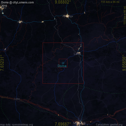
Doma night lights from space
Night Light of Doma (Nassarawa) from space (Nigeria) Src. Average luminocity for 10x10km area is 0% and for 50x50km: 0.2384%.
Analysis of Doma night lights 2016
Square area 10x10 km:
100  0%
0%
90-99 0%
80-89 0%
70-79 0%
60-69 0%
50-59 0%
40-49 0%
30-39 0%
20-29 0%
10-19 0%
0-9 100%
0%90-99
0%80-89
0%70-79
0%60-69
0%50-59
0%40-49
0%30-39
0%20-29
0%10-19
0%0-9
100%Square area 50x50 km:
100 0%
90-99 0.02%
80-89 0.02%
70-79 0%
60-69 0.01%
50-59 0.09%
40-49 0.07%
30-39 0.19%
20-29 0.08%
10-19 0.03%
0-9 99.49%
0%90-99
0.02%80-89
0.02%70-79
0%60-69
0.01%50-59
0.09%40-49
0.07%30-39
0.19%20-29
0.08%10-19
0.03%0-9
99.49%Clear (daylight) street map image can be seen on geolist.org.
Map coordinates:
9° 5' 16.9" North, 7° 39' 8.3" East
8° 23' 35.1" North, 8° 21' 19.6" East
7° 41' 48.7" North, 9° 3' 30.8" East
Some cities around Doma sort by population:
• Makurdi
75.6 km =47 mi,  166°
166°
• Lafia
20.9 km =13 mi,  57°
57°
• Keffi
73.1 km =45.4 mi,  313°
313°
• Nasarawa
73 km =45.4 mi,  282°
282°
• Wamba
66.8 km =41.5 mi,  24°
24°
• Akwanga
57.8 km =35.9 mi,  5°
5°
• Ugbokpo
97.3 km =60.5 mi,  212°
212°
• Bugana
95.6 km =59.4 mi,  242°
242°
2344600 (p: 15,097)
Sources (retrieved 2019-11-25):
» Earth at Night: Flat Maps 2012, 2016