Bugana night lights from space
Night Light of Bugana (Kogi) from space (Nigeria) Src. Average luminocity for 10x10km area is 1.0868% and for 50x50km: 0.0444%.
Analysis of Bugana night lights 2016
Square area 10x10 km:
100  0%
0%
90-99 0%
80-89 0%
70-79 0%
60-69 1.65%
50-59 0%
40-49 0%
30-39 0%
20-29 0%
10-19 0%
0-9 98.35%
0%90-99
0%80-89
0%70-79
0%60-69
1.65%50-59
0%40-49
0%30-39
0%20-29
0%10-19
0%0-9
98.35%Square area 50x50 km:
100 0%
90-99 0%
80-89 0%
70-79 0%
60-69 0.07%
50-59 0%
40-49 0%
30-39 0%
20-29 0%
10-19 0%
0-9 99.93%
0%90-99
0%80-89
0%70-79
0%60-69
0.07%50-59
0%40-49
0%30-39
0%20-29
0%10-19
0%0-9
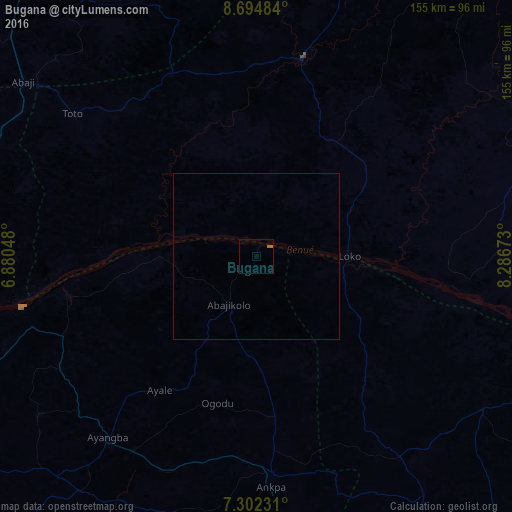
99.93%Clear (daylight) street map image can be seen on geolist.org.
Map coordinates:
8° 41' 41.4" North, 6° 52' 49.7" East
7° 59' 57" North, 7° 35' 1" East
7° 18' 8.3" North, 8° 17' 12.2" East
Some cities around Bugana sort by population:
• Nasarawa
61.6 km =38.3 mi,  12°
12°
• Ankpa
66.6 km =41.4 mi,  175°
175°
• Ugbokpo
50.7 km =31.5 mi,  139°
139°
• Boju
79.3 km =49.3 mi,  154°
154°
• Dekina
68.7 km =42.7 mi,  239°
239°
• Koton-Karfe
87.1 km =54.1 mi,  276°
276°
• Buga
60.8 km =37.8 mi,  333°
333°
• Abocho
81.4 km =50.6 mi,  233°
233°
2348298 (p: 9,737)
Sources (retrieved 2019-11-25):
» Earth at Night: Flat Maps 2012, 2016