Keffi night lights from space
Night Light of Keffi (Nassarawa) from space (Nigeria) Src. Average luminocity for 10x10km area is 4.8983% and for 50x50km: 0.7685%.
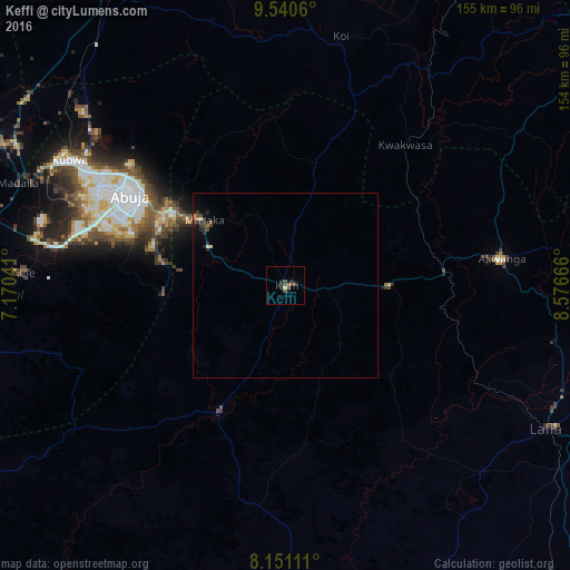
Analysis of Keffi night lights 2016
Square area 10x10 km:
 0%
0%90-99
0%80-89
0.87%70-79
0%60-69
0.87%50-59
0.87%40-49
2.38%30-39
2.81%20-29
1.52%10-19
1.52%0-9
89.18%Square area 50x50 km:
0%90-99
0.1%80-89
0.06%70-79
0.08%60-69
0.06%50-59
0.1%40-49
0.24%30-39
0.28%20-29
0.36%10-19
0.33%0-9
98.39%Clear (daylight) street map image can be seen on geolist.org.
Map coordinates:
9° 32' 26.2" North, 7° 10' 13.5" East
8° 50' 47.4" North, 7° 52' 24.7" East
8° 9' 4" North, 8° 34' 36" East
Some cities around Keffi sort by population:
• Abuja
47.8 km =29.7 mi,  299°
299°
• Lafia
80.7 km =50.1 mi,  119°
119°
• Kuje
71.1 km =44.2 mi,  272°
272°
• Nasarawa
38.7 km =24 mi,  207°
207°
• Akwanga
59 km =36.7 mi,  83°
83°
• Doma
73.1 km =45.4 mi,  133°
133°
• Madala
78 km =48.5 mi,  291°
291°
• Buga
70.6 km =43.9 mi,  235°
235°
2334652 (p: 85,911)
Sources (retrieved 2019-11-25):
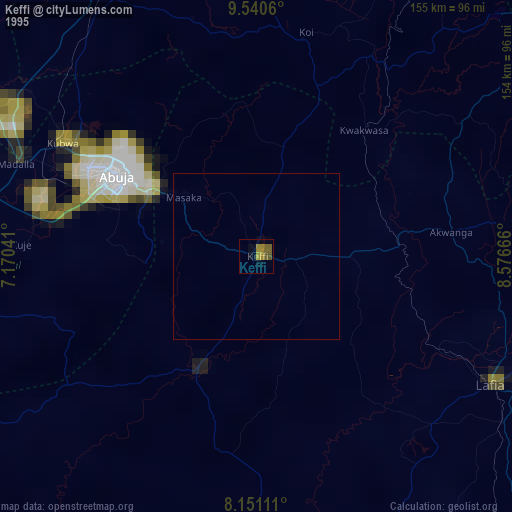
» NASA, Earths city lights 1995
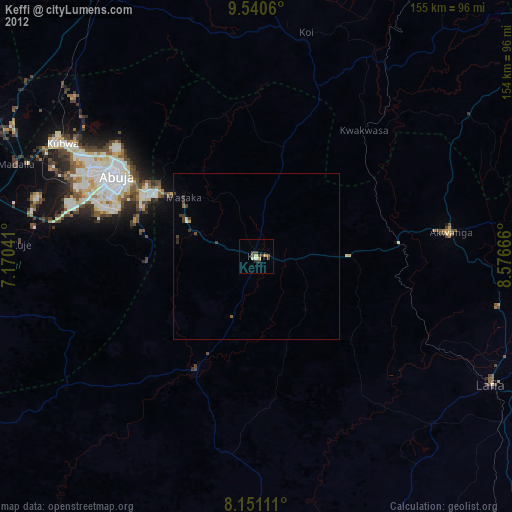
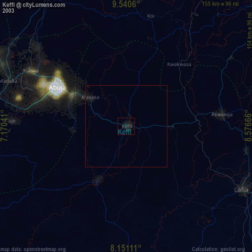
» NASA city lights 2003
» Earth at Night: Flat Maps 2012, 2016