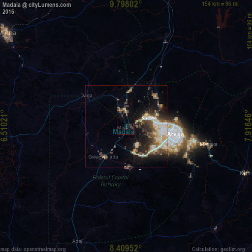
Madala night lights from space
Night Light of Madala (FCT) from space (Nigeria) Src. Average luminocity for 10x10km area is 5.0519% and for 50x50km: 15.3312%.
Analysis of Madala night lights 2016
Square area 10x10 km:
100  0%
0%
90-99 0%
80-89 0%
70-79 0%
60-69 0%
50-59 0%
40-49 1.52%
30-39 2.81%
20-29 3.46%
10-19 4.55%
0-9 87.66%
0%90-99
0%80-89
0%70-79
0%60-69
0%50-59
0%40-49
1.52%30-39
2.81%20-29
3.46%10-19
4.55%0-9
87.66%Square area 50x50 km:
100 1.47%
90-99 3.84%
80-89 1.75%
70-79 1.53%
60-69 1.44%
50-59 2.12%
40-49 3.32%
30-39 2.99%
20-29 3.98%
10-19 7.15%
0-9 70.41%
1.47%90-99
3.84%80-89
1.75%70-79
1.53%60-69
1.44%50-59
2.12%40-49
3.32%30-39
2.99%20-29
3.98%10-19
7.15%0-9
70.41%Clear (daylight) street map image can be seen on geolist.org.
Map coordinates:
9° 47' 52.9" North, 6° 30' 36.8" East
9° 6' 16" North, 7° 12' 48" East
8° 24' 34.3" North, 7° 54' 59.3" East
Some cities around Madala sort by population:
• Abuja
31.4 km =19.5 mi,  99°
99°
• Suleja
9.3 km =5.8 mi,  336°
336°
• Kuje
25.1 km =15.6 mi,  176°
176°
• Keffi
78 km =48.5 mi,  111°
111°
• Nasarawa
83.1 km =51.6 mi,  139°
139°
• Lapai
70.9 km =44.1 mi,  264°
264°
• Buga
69.7 km =43.3 mi,  168°
168°
• Kwali
32.6 km =20.3 mi,  221°
221°
2331694 (p: 11,771)
Sources (retrieved 2019-11-25):
» Earth at Night: Flat Maps 2012, 2016