Buga night lights from space
Night Light of Buga (Nassarawa) from space (Nigeria) Src. Average luminocity for 10x10km area is 0% and for 50x50km: 0%.
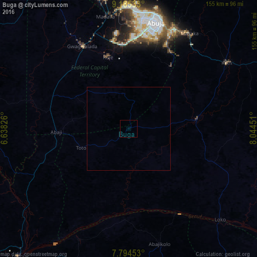
Analysis of Buga night lights 2016
Square area 10x10 km:
100  0%
0%
90-99 0%
80-89 0%
70-79 0%
60-69 0%
50-59 0%
40-49 0%
30-39 0%
20-29 0%
10-19 0%
0-9 100%
0%90-99
0%80-89
0%70-79
0%60-69
0%50-59
0%40-49
0%30-39
0%20-29
0%10-19
0%0-9
100%Square area 50x50 km:
100 0%
90-99 0%
80-89 0%
70-79 0%
60-69 0%
50-59 0%
40-49 0%
30-39 0%
20-29 0%
10-19 0%
0-9 100%
0%90-99
0%80-89
0%70-79
0%60-69
0%50-59
0%40-49
0%30-39
0%20-29
0%10-19
0%0-9
100%Clear (daylight) street map image can be seen on geolist.org.
Map coordinates:
9° 11' 7.2" North, 6° 38' 17.7" East
8° 29' 26" North, 7° 20' 29" East
7° 47' 40.3" North, 8° 2' 40.2" East
Some cities around Buga sort by population:
• Abuja
65.3 km =40.6 mi,  14°
14°
• Kuje
45 km =28 mi,  343°
343°
• Keffi
70.6 km =43.9 mi,  55°
55°
• Nasarawa
40.7 km =25.3 mi,  82°
82°
• Madala
69.7 km =43.3 mi,  348°
348°
• Koton-Karfe
74.5 km =46.3 mi,  233°
233°
• Bugana
60.8 km =37.8 mi,  153°
153°
• Kwali
56.3 km =35 mi,  320°
320°
2346632 (p: 9,913)
Sources (retrieved 2019-11-25):
» Earth at Night: Flat Maps 2012, 2016