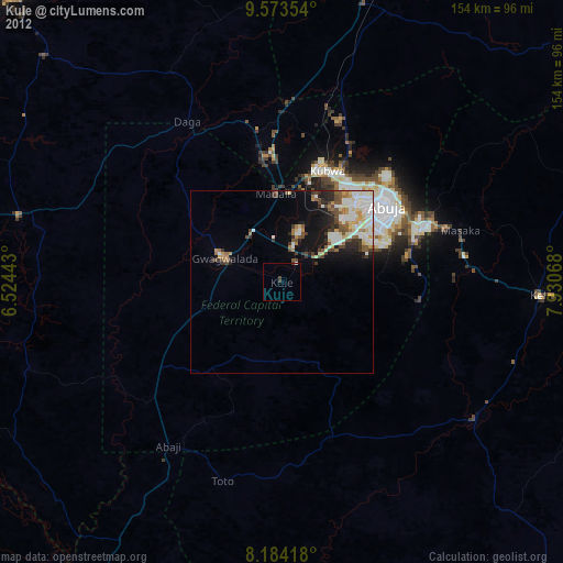
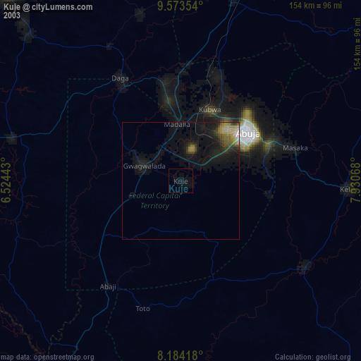
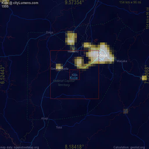
Kuje night lights from space
Night Light of Kuje (FCT) from space (Nigeria) Src. Average luminocity for 10x10km area is 5.9048% and for 50x50km: 10.3366%.
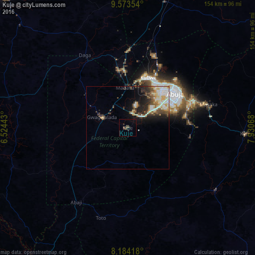
Analysis of Kuje night lights 2016
Square area 10x10 km:
 0%
0%90-99
0%80-89
0%70-79
0%60-69
0.65%50-59
2.81%40-49
1.08%30-39
3.68%20-29
2.16%10-19
0.22%0-9
89.39%Square area 50x50 km:
1.28%90-99
2.92%80-89
1.5%70-79
0.99%60-69
0.68%50-59
1.4%40-49
1.83%30-39
1.61%20-29
2.7%10-19
4.09%0-9
81%Clear (daylight) street map image can be seen on geolist.org.
Map coordinates:
9° 34' 24.7" North, 6° 31' 27.9" East
8° 52' 46.3" North, 7° 13' 39.2" East
8° 11' 3" North, 7° 55' 50.4" East
Some cities around Kuje sort by population:
• Abuja
35.4 km =22 mi,  55°
55°
• Suleja
33.9 km =21.1 mi,  351°
351°
• Keffi
71.1 km =44.2 mi,  92°
92°
• Nasarawa
65 km =40.4 mi,  125°
125°
• Lapai
74.4 km =46.2 mi,  284°
284°
• Madala
25.1 km =15.6 mi,  356°
356°
• Buga
45 km =28 mi,  163°
163°
• Kwali
23 km =14.3 mi,  271°
271°
2333604 (p: 97,367)
Sources (retrieved 2019-11-25):
» NASA, Earths city lights 1995
» NASA city lights 2003
» Earth at Night: Flat Maps 2012, 2016