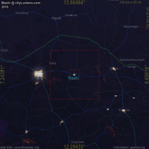
Mashi night lights from space
Night Light of Mashi (Katsina) from space (Nigeria) Src. Average luminocity for 10x10km area is 1.6905% and for 50x50km: 0.0757%.
Analysis of Mashi night lights 2016
Square area 10x10 km:
 0%
0%90-99
0%80-89
0%70-79
0%60-69
0.87%50-59
0.65%40-49
0.87%30-39
1.08%20-29
0%10-19
0%0-9
96.54%Square area 50x50 km:
0%90-99
0%80-89
0%70-79
0%60-69
0.03%50-59
0.03%40-49
0.03%30-39
0.04%20-29
0.03%10-19
0%0-9
99.83%Clear (daylight) street map image can be seen on geolist.org.
Map coordinates:
13° 39' 52.7" North, 7° 14' 38.1" East
12° 58' 49.6" North, 7° 56' 49.3" East
12° 17' 39.7" North, 8° 39' 0.6" East
Some cities around Mashi sort by population:
• Katsina
37.4 km =23.2 mi,  271°
271°
• Daura
41.2 km =25.6 mi,  81°
81°
• Matamey, NE
75.4 km =46.9 mi,  49°
49°
• Kazaure
62.5 km =38.8 mi,  126°
126°
• Aguié, NE
61.2 km =38 mi,  342°
342°
• Dutsin-Ma
76.2 km =47.3 mi,  219°
219°
• Zango
58.9 km =36.6 mi, 82°
• Dankama
38.9 km =24.2 mi,  334°
334°
2330664 (p: 7,845)
Sources (retrieved 2019-11-25):
» Earth at Night: Flat Maps 2012, 2016