Matamey night lights from space
Night Light of Matamey (Zinder) from space (Niger) Src. Average luminocity for 10x10km area is 0% and for 50x50km: 0%.
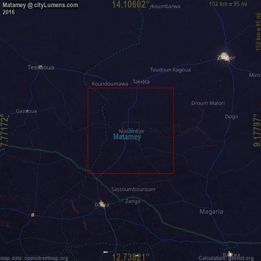
Analysis of Matamey night lights 2016
Square area 10x10 km:
 0%
0%90-99
0%80-89
0%70-79
0%60-69
0%50-59
0%40-49
0%30-39
0%20-29
0%10-19
0%0-9
100%Square area 50x50 km:
0%90-99
0%80-89
0%70-79
0%60-69
0%50-59
0%40-49
0%30-39
0%20-29
0%10-19
0%0-9
100%Clear (daylight) street map image can be seen on geolist.org.
Map coordinates:
14° 6' 21.7" North, 7° 46' 18.2" East
13° 25' 23.1" North, 8° 28' 29.5" East
12° 44' 17.6" North, 9° 10' 40.7" East
Some cities around Matamey sort by population:
• Zinder
70 km =43.5 mi,  52°
52°
• Tessaoua
64.5 km =40.1 mi,  305°
305°
• Daura, NG
46.4 km =28.8 mi,  200°
200°
• Magaria
66.7 km =41.4 mi,  135°
135°
• Aguié
75.8 km =47.1 mi,  276°
276°
• Zango, NG
41.2 km =25.6 mi,  178°
178°
• Mashi, NG
75.4 km =46.9 mi,  229°
229°
• Dankama, NG
74.9 km =46.5 mi,  259°
259°
2441217 (p: 16,844)
Sources (retrieved 2019-11-25):
» Earth at Night: Flat Maps 2012, 2016