Kazaure night lights from space
Night Light of Kazaure (Jigawa) from space (Nigeria) Src. Average luminocity for 10x10km area is 6.0887% and for 50x50km: 0.4813%.
Analysis of Kazaure night lights 2016
Square area 10x10 km:
 0%
0%90-99
0.87%80-89
0.87%70-79
0.87%60-69
0%50-59
1.95%40-49
3.9%30-39
1.08%20-29
0%10-19
0%0-9
90.48%Square area 50x50 km:
0%90-99
0.1%80-89
0.07%70-79
0.07%60-69
0.03%50-59
0.08%40-49
0.29%30-39
0.04%20-29
0.04%10-19
0.03%0-9
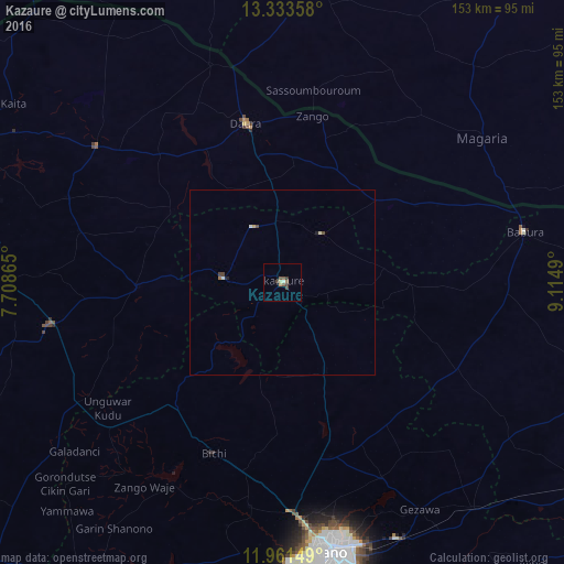
99.25%Clear (daylight) street map image can be seen on geolist.org.
Map coordinates:
13° 20' 0.9" North, 7° 42' 31.1" East
12° 38' 54.5" North, 8° 24' 42.4" East
11° 57' 41.4" North, 9° 6' 53.6" East
Some cities around Kazaure sort by population:
• Kano
73 km =45.4 mi,  171°
171°
• Daura
43.8 km =27.2 mi,  347°
347°
• Magaria, NE
66.6 km =41.4 mi,  54°
54°
• Matamey, NE
86.4 km =53.7 mi,  4°
4°
• Zango
45.7 km =28.4 mi,  10°
10°
• Dambatta
26.3 km =16.3 mi,  154°
154°
• Mashi
62.5 km =38.8 mi,  306°
306°
• Babura
66.9 km =41.6 mi,  78°
78°
2334674 (p: 13,169)
Sources (retrieved 2019-11-25):
» Earth at Night: Flat Maps 2012, 2016