Daura night lights from space
Night Light of Daura (Katsina) from space (Nigeria) Src. Average luminocity for 10x10km area is 5.9177% and for 50x50km: 0.2335%.

Analysis of Daura night lights 2016
Square area 10x10 km:
 0%
0%90-99
0%80-89
0.22%70-79
3.03%60-69
0.87%50-59
0.22%40-49
2.6%30-39
1.95%20-29
0.65%10-19
0%0-9
90.48%Square area 50x50 km:
0%90-99
0%80-89
0.01%70-79
0.12%60-69
0.03%50-59
0.01%40-49
0.1%30-39
0.08%20-29
0.03%10-19
0%0-9
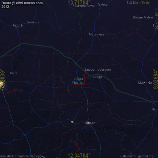
99.63%Clear (daylight) street map image can be seen on geolist.org.
Map coordinates:
13° 43' 1.3" North, 7° 37' 13.4" East
13° 1' 58.8" North, 8° 19' 24.6" East
12° 20' 49.3" North, 9° 1' 35.9" East
Some cities around Daura sort by population:
• Katsina
78.3 km =48.7 mi,  266°
266°
• Magaria, NE
63.6 km =39.5 mi,  93°
93°
• Matamey, NE
46.4 km =28.8 mi,  20°
20°
• Kazaure
43.8 km =27.2 mi,  167°
167°
• Zango
17.7 km =11 mi,  82°
82°
• Dambatta
69.7 km =43.3 mi,  162°
162°
• Mashi
41.2 km =25.6 mi,  261°
261°
• Dankama
64.4 km =40 mi,  297°
297°
2345094 (p: 25,289)
Sources (retrieved 2019-11-25):
» Earth at Night: Flat Maps 2012, 2016