Aguié night lights from space
Night Light of Aguié (Maradi) from space (Niger) Src. Average luminocity for 10x10km area is 0.1736% and for 50x50km: 0.0184%.
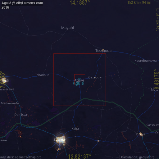
Analysis of Aguié night lights 2016
Square area 10x10 km:
 0%
0%90-99
0%80-89
0%70-79
0%60-69
0%50-59
0%40-49
0%30-39
0%20-29
0%10-19
0.83%0-9
99.17%Square area 50x50 km:
0%90-99
0%80-89
0%70-79
0%60-69
0%50-59
0%40-49
0%30-39
0.03%20-29
0%10-19
0.03%0-9
99.93%Clear (daylight) street map image can be seen on geolist.org.
Map coordinates:
14° 11' 19.3" North, 7° 4' 31.8" East
13° 30' 21.6" North, 7° 46' 43.1" East
12° 49' 16.9" North, 8° 28' 54.3" East
Some cities around Aguié sort by population:
• Katsina, NG
60.4 km =37.5 mi,  198°
198°
• Maradi
73.2 km =45.5 mi,  269°
269°
• Tessaoua
35.9 km =22.3 mi,  38°
38°
• Mayahi
51.3 km =31.9 mi,  346°
346°
• Jibia, NG
75.3 km =46.8 mi,  232°
232°
• Madarounfa
70.8 km =44 mi,  251°
251°
• Mashi, NG
61.2 km =38 mi,  162°
162°
• Dankama, NG
23.2 km =14.4 mi,  175°
175°
2448024 (p: 13,152)
Sources (retrieved 2019-11-25):
» Earth at Night: Flat Maps 2012, 2016