Katsina night lights from space
Night Light of Katsina from space (Nigeria) Src. Average luminocity for 10x10km area is 53.0996% and for 50x50km: 2.8635%.
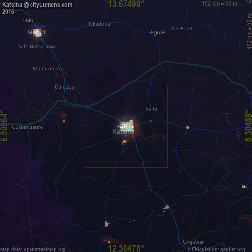
Analysis of Katsina night lights 2016
Square area 10x10 km:
 3.25%
3.25%90-99
20.56%80-89
14.07%70-79
4.33%60-69
4.55%50-59
1.95%40-49
8.44%30-39
2.16%20-29
12.55%10-19
26.19%0-9
1.95%Square area 50x50 km:
0.13%90-99
0.81%80-89
0.55%70-79
0.2%60-69
0.25%50-59
0.15%40-49
0.44%30-39
0.24%20-29
0.7%10-19
2.87%0-9
93.66%Clear (daylight) street map image can be seen on geolist.org.
Map coordinates:
13° 40' 30" North, 6° 53' 55.1" East
12° 59' 27" North, 7° 36' 6.4" East
12° 18' 17.1" North, 8° 18' 17.6" East
Some cities around Katsina sort by population:
• Jibia
42.3 km =26.3 mi,  285°
285°
• Aguié, NE
60.4 km =37.5 mi,  18°
18°
• Wagini
55.4 km =34.4 mi,  232°
232°
• Madarounfa, NE
59.8 km =37.2 mi,  306°
306°
• Ruma
42.3 km =26.3 mi,  250°
250°
• Mashi
37.4 km =23.2 mi,  91°
91°
• Batsari
46.4 km =28.8 mi,  235°
235°
• Dankama
40 km =24.9 mi,  31°
31°
2334802 (p: 432,149)
Sources (retrieved 2019-11-25):
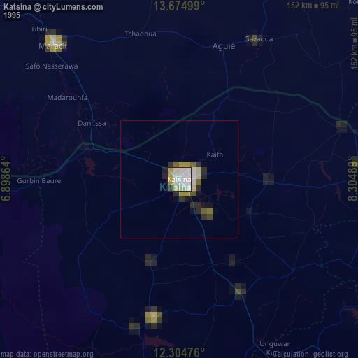
» NASA, Earths city lights 1995
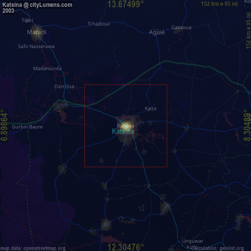
» NASA city lights 2003
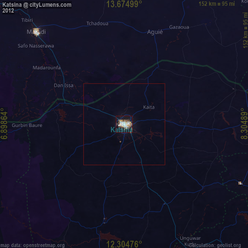
» Earth at Night: Flat Maps 2012, 2016