Dutsin-Ma night lights from space
Night Light of Dutsin-Ma (Katsina) from space (Nigeria) Src. Average luminocity for 10x10km area is 3.4463% and for 50x50km: 0.1959%.
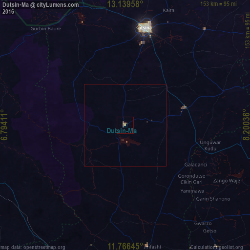
Analysis of Dutsin-Ma night lights 2016
Square area 10x10 km:
 0%
0%90-99
0%80-89
0%70-79
0%60-69
2.27%50-59
1.03%40-49
1.65%30-39
0.83%20-29
0%10-19
0%0-9
94.21%Square area 50x50 km:
0%90-99
0%80-89
0%70-79
0%60-69
0.09%50-59
0.08%40-49
0.07%30-39
0.03%20-29
0.08%10-19
0.05%0-9
99.6%Clear (daylight) street map image can be seen on geolist.org.
Map coordinates:
13° 8' 22.5" North, 6° 47' 38.8" East
12° 27' 14.1" North, 7° 29' 50" East
11° 45' 59.2" North, 8° 12' 1.3" East
Some cities around Dutsin-Ma sort by population:
• Katsina
60.8 km =37.8 mi,  10°
10°
• Runka
20.4 km =12.7 mi,  268°
268°
• Wagini
41.8 km =26 mi,  308°
308°
• Kankara
58.9 km =36.6 mi,  189°
189°
• Musawa
40.7 km =25.3 mi,  152°
152°
• Ruma
53.6 km =33.3 mi,  327°
327°
• Batsari
43.1 km =26.8 mi,  321°
321°
• Jikamshi
43.4 km =27 mi,  136°
136°
2344217 (p: 12,595)
Sources (retrieved 2019-11-25):
» Earth at Night: Flat Maps 2012, 2016