Zango night lights from space
Night Light of Zango (Katsina) from space (Nigeria) Src. Average luminocity for 10x10km area is 0% and for 50x50km: 0.2335%.
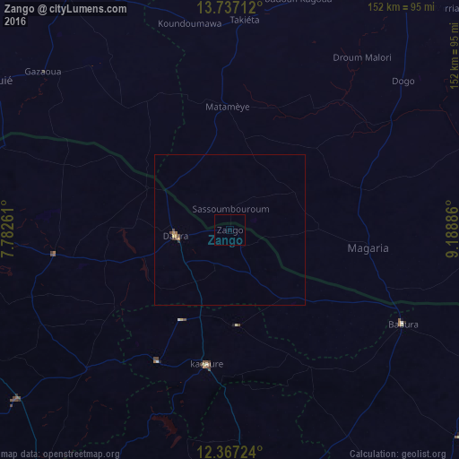
Analysis of Zango night lights 2016
Square area 10x10 km:
 0%
0%90-99
0%80-89
0%70-79
0%60-69
0%50-59
0%40-49
0%30-39
0%20-29
0%10-19
0%0-9
100%Square area 50x50 km:
0%90-99
0%80-89
0.01%70-79
0.12%60-69
0.03%50-59
0.01%40-49
0.1%30-39
0.08%20-29
0.03%10-19
0%0-9
99.63%Clear (daylight) street map image can be seen on geolist.org.
Map coordinates:
13° 44' 13.6" North, 7° 46' 57.4" East
13° 3' 11.3" North, 8° 29' 8.7" East
12° 22' 2.1" North, 9° 11' 19.9" East
Some cities around Zango sort by population:
• Daura
17.7 km =11 mi,  262°
262°
• Magaria, NE
46.4 km =28.8 mi,  97°
97°
• Matamey, NE
41.2 km =25.6 mi,  358°
358°
• Kazaure
45.7 km =28.4 mi,  190°
190°
• Dambatta
68.8 km =42.8 mi,  177°
177°
• Mashi
58.9 km =36.6 mi, 262°
• Babura
65.3 km =40.6 mi,  118°
118°
• Dankama
79.6 km =49.5 mi,  289°
289°
2317818 (p: 12,371)
Sources (retrieved 2019-11-25):
» Earth at Night: Flat Maps 2012, 2016