Dankama night lights from space
Night Light of Dankama (Katsina) from space (Nigeria) Src. Average luminocity for 10x10km area is 0% and for 50x50km: 0.0085%.
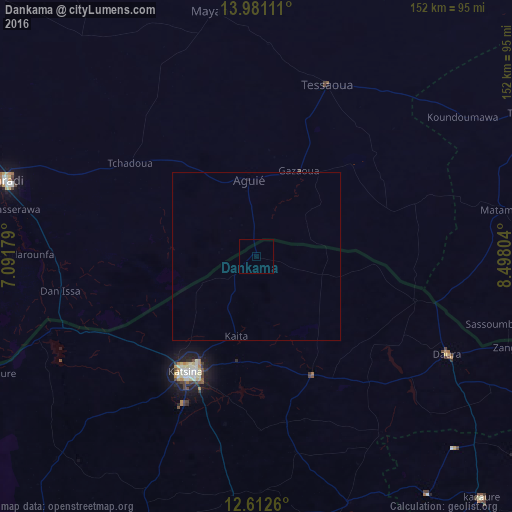
Analysis of Dankama night lights 2016
Square area 10x10 km:
 0%
0%90-99
0%80-89
0%70-79
0%60-69
0%50-59
0%40-49
0%30-39
0%20-29
0%10-19
0%0-9
100%Square area 50x50 km:
0%90-99
0%80-89
0%70-79
0%60-69
0%50-59
0%40-49
0%30-39
0%20-29
0%10-19
0.03%0-9
99.97%Clear (daylight) street map image can be seen on geolist.org.
Map coordinates:
13° 58' 52" North, 7° 5' 30.4" East
13° 17' 52.2" North, 7° 47' 41.7" East
12° 36' 45.4" North, 8° 29' 52.9" East
Some cities around Dankama sort by population:
• Katsina
40 km =24.9 mi,  211°
211°
• Tessaoua, NE
55.2 km =34.3 mi,  22°
22°
• Daura
64.4 km =40 mi,  117°
117°
• Mayahi, NE
74.3 km =46.2 mi,  349°
349°
• Jibia
65.6 km =40.8 mi,  249°
249°
• Aguié, NE
23.2 km =14.4 mi,  355°
355°
• Madarounfa, NE
69.1 km =42.9 mi,  270°
270°
• Mashi
38.9 km =24.2 mi,  154°
154°
2345282 (p: 6,531)
Sources (retrieved 2019-11-25):
» Earth at Night: Flat Maps 2012, 2016