Koton-Karfe night lights from space
Night Light of Koton-Karfe (Kogi) from space (Nigeria) Src. Average luminocity for 10x10km area is 0% and for 50x50km: 0.0392%.
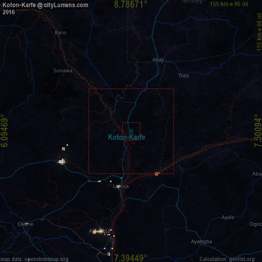
Analysis of Koton-Karfe night lights 2016
Square area 10x10 km:
 0%
0%90-99
0%80-89
0%70-79
0%60-69
0%50-59
0%40-49
0%30-39
0%20-29
0%10-19
0%0-9
100%Square area 50x50 km:
0%90-99
0%80-89
0%70-79
0%60-69
0.05%50-59
0%40-49
0%30-39
0%20-29
0%10-19
0%0-9
99.95%Clear (daylight) street map image can be seen on geolist.org.
Map coordinates:
8° 47' 12.2" North, 6° 5' 40.9" East
8° 5' 28.3" North, 6° 47' 52.2" East
7° 23' 40.2" North, 7° 30' 3.4" East
Some cities around Koton-Karfe sort by population:
• Ogaminana
84.5 km =52.5 mi,  229°
229°
• Lokoja
33.3 km =20.7 mi,  190°
190°
• Baro
71.7 km =44.6 mi,  324°
324°
• Ajaokuta
60.9 km =37.8 mi, 194°
• Icheu
42.8 km =26.6 mi,  183°
183°
• Dekina
52.2 km =32.4 mi,  148°
148°
• Buga
74.5 km =46.3 mi,  53°
53°
• Abocho
61.8 km =38.4 mi,  160°
160°
2333884 (p: 10,709)
Sources (retrieved 2019-11-25):
» Earth at Night: Flat Maps 2012, 2016