Agbor night lights from space
Night Light of Agbor (Delta) from space (Nigeria) Src. Average luminocity for 10x10km area is 0.5844% and for 50x50km: 0.0234%.
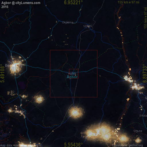
Analysis of Agbor night lights 2016
Square area 10x10 km:
 0%
0%90-99
0%80-89
0%70-79
0%60-69
0.87%50-59
0%40-49
0%30-39
0%20-29
0%10-19
0%0-9
99.13%Square area 50x50 km:
0%90-99
0%80-89
0%70-79
0%60-69
0.03%50-59
0%40-49
0%30-39
0%20-29
0%10-19
0%0-9
99.97%Clear (daylight) street map image can be seen on geolist.org.
Map coordinates:
6° 57' 8" North, 5° 29' 27.9" East
6° 15' 13.5" North, 6° 11' 39.1" East
5° 33' 15.7" North, 6° 53' 50.4" East
Some cities around Agbor sort by population:
• Uromi
51.9 km =32.2 mi,  17°
17°
• Asaba
59.8 km =37.2 mi,  95°
95°
• Ekpoma
54.7 km =34 mi,  353°
353°
• Ogwashi-Uku
37.5 km =23.3 mi, 102°
• Ubiaja
49.4 km =30.7 mi,  25°
25°
• Obiaruku
45.5 km =28.3 mi,  185°
185°
• Umunede
12.8 km =8 mi,  84°
84°
• Abraka
52.5 km =32.6 mi, 190°
2351979 (p: 67,610)
Sources (retrieved 2019-11-25):
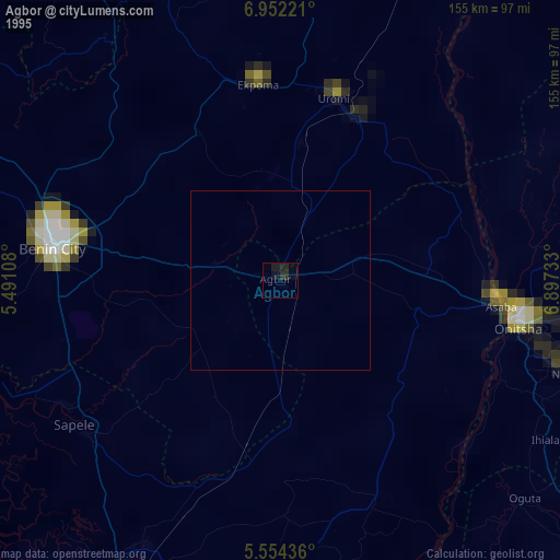
» NASA, Earths city lights 1995
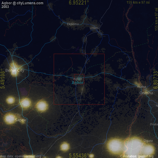
» NASA city lights 2003
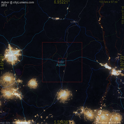
» Earth at Night: Flat Maps 2012, 2016