Asaba night lights from space
Night Light of Asaba (Delta) from space (Nigeria) Src. Average luminocity for 10x10km area is 41.1653% and for 50x50km: 5.3608%.
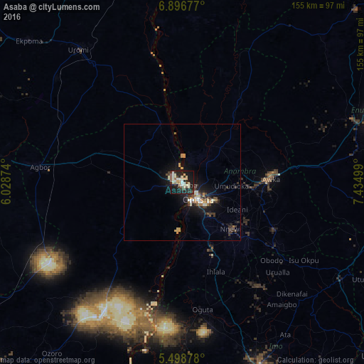
Analysis of Asaba night lights 2016
Square area 10x10 km:
 3.72%
3.72%90-99
15.29%80-89
6.61%70-79
2.48%60-69
1.03%50-59
2.27%40-49
6.2%30-39
4.75%20-29
15.5%10-19
37.19%0-9
4.96%Square area 50x50 km:
0.28%90-99
1.2%80-89
0.63%70-79
0.62%60-69
0.48%50-59
0.35%40-49
0.64%30-39
1.44%20-29
1.5%10-19
5.39%0-9
87.46%Clear (daylight) street map image can be seen on geolist.org.
Map coordinates:
6° 53' 48.4" North, 6° 1' 43.5" East
6° 11' 53.7" North, 6° 43' 54.7" East
5° 29' 55.6" North, 7° 26' 6" East
Some cities around Asaba sort by population:
• Onitsha
8 km =5 mi,  132°
132°
• Atani
20.7 km =12.9 mi,  175°
175°
• Nnewi
28.5 km =17.7 mi, 134°
• Nkpor
12.1 km =7.5 mi,  116°
116°
• Ozubulu
29.9 km =18.6 mi,  153°
153°
• Enugu-Ukwu
30.4 km =18.9 mi,  95°
95°
• Ogwashi-Uku
23 km =14.3 mi,  264°
264°
• Uruobo-Okija
35.4 km =22 mi,  159°
159°
2349276 (p: 73,374)
Sources (retrieved 2019-11-25):
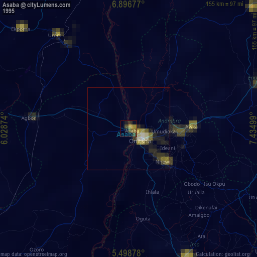
» NASA, Earths city lights 1995
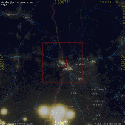
» NASA city lights 2003
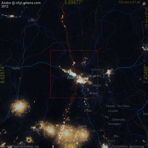
» Earth at Night: Flat Maps 2012, 2016