Uromi night lights from space
Night Light of Uromi (Edo) from space (Nigeria) Src. Average luminocity for 10x10km area is 1.381% and for 50x50km: 0.1706%.
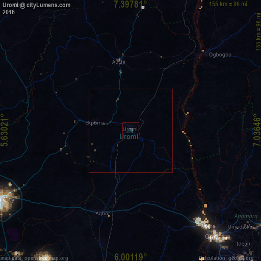
Analysis of Uromi night lights 2016
Square area 10x10 km:
 0%
0%90-99
0%80-89
0%70-79
0%60-69
0%50-59
0%40-49
0.87%30-39
0.87%20-29
1.08%10-19
1.52%0-9
95.67%Square area 50x50 km:
0%90-99
0%80-89
0%70-79
0%60-69
0%50-59
0%40-49
0.07%30-39
0.14%20-29
0.19%10-19
0.14%0-9
99.46%Clear (daylight) street map image can be seen on geolist.org.
Map coordinates:
7° 23' 52.1" North, 5° 37' 48.8" East
6° 42' 0" North, 6° 19' 60" East
6° 0' 4.3" North, 7° 2' 11.3" East
Some cities around Uromi sort by population:
• Agbor
51.9 km =32.2 mi,  197°
197°
• Auchi
41.6 km =25.8 mi,  349°
349°
• Ekpoma
21.8 km =13.5 mi,  282°
282°
• Ogwashi-Uku
61.8 km =38.4 mi,  159°
159°
• Ubiaja
7.5 km =4.7 mi,  130°
130°
• Agenebode
60.1 km =37.3 mi,  41°
41°
• Umunede
48.4 km =30.1 mi,  183°
183°
• Illushi
32.8 km =20.4 mi,  95°
95°
2319668 (p: 108,608)
Sources (retrieved 2019-11-25):
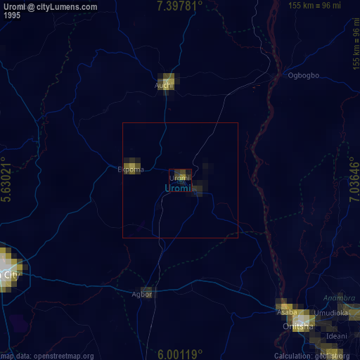
» NASA, Earths city lights 1995
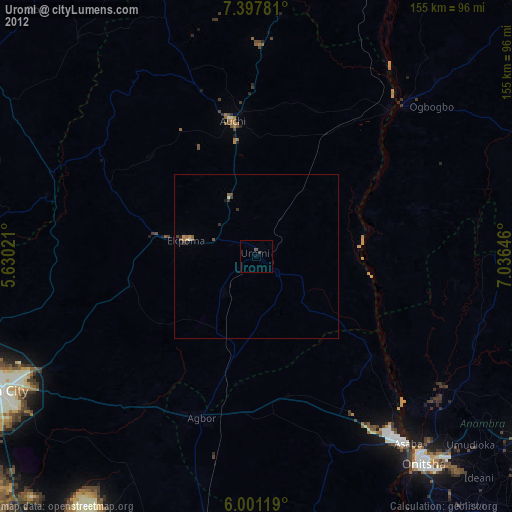
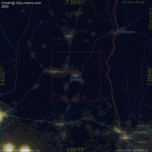
» NASA city lights 2003
» Earth at Night: Flat Maps 2012, 2016