Kingston night lights from space
Night Light of Kingston from space (Norfolk Island) Src. Average luminocity for 10x10km area is 0% and for 50x50km: 0%.
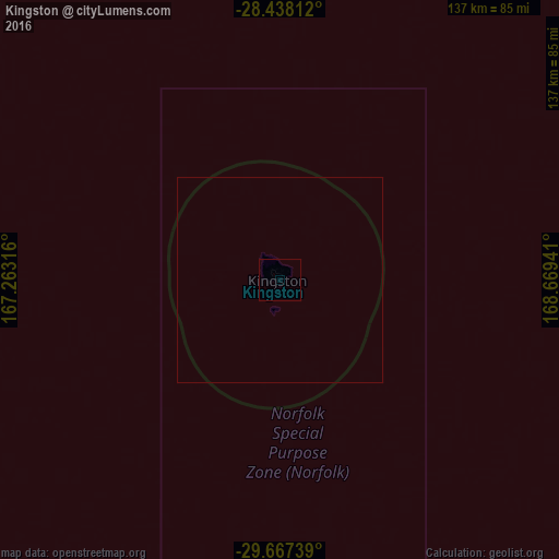
Analysis of Kingston night lights 2016
Square area 10x10 km:
 0%
0%90-99
0%80-89
0%70-79
0%60-69
0%50-59
0%40-49
0%30-39
0%20-29
0%10-19
0%0-9
100%Square area 50x50 km:
0%90-99
0%80-89
0%70-79
0%60-69
0%50-59
0%40-49
0%30-39
0%20-29
0%10-19
0%0-9
100%Clear (daylight) street map image can be seen on geolist.org.
Map coordinates:
28° 26' 17.2" South, 167° 15' 47.4" East
29° 3' 16.5" South, 167° 57' 58.6" East
29° 40' 2.6" South, 168° 40' 9.9" East
Some cities around Kingston sort by population:
• Nouméa, NC
769.1 km =477.9 mi,  348°
348°
• Mont-Dore, NC
768.1 km =477.3 mi, 349°
• Dumbéa, NC
781.6 km =485.7 mi, 348°
• Païta, NC
786.5 km =488.7 mi, 348°
• Wé, NC
907.6 km =564 mi,  355°
355°
• Tadine, NC
834.8 km =518.7 mi, 359°
• Kerikeri, NZ
887.3 km =551.3 mi,  140°
140°
• La Foa, NC
844.3 km =524.6 mi, 345°
2161314 (p: 880)
Sources (retrieved 2019-11-25):
» Earth at Night: Flat Maps 2012, 2016