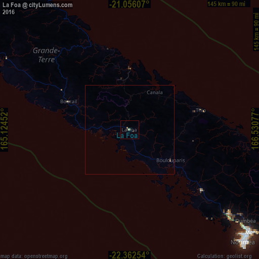
La Foa night lights from space
Night Light of La Foa (South Province) from space (New Caledonia) Src. Average luminocity for 10x10km area is 2.0303% and for 50x50km: 0.1156%.
Analysis of La Foa night lights 2016
Square area 10x10 km:
 0%
0%90-99
0%80-89
0.76%70-79
0.19%60-69
0.57%50-59
0%40-49
0%30-39
1.52%20-29
0.76%10-19
0%0-9
96.21%Square area 50x50 km:
0%90-99
0%80-89
0.03%70-79
0.01%60-69
0.02%50-59
0%40-49
0.03%30-39
0.1%20-29
0.03%10-19
0%0-9
99.78%Clear (daylight) street map image can be seen on geolist.org.
Map coordinates:
21° 3' 21.9" South, 165° 7' 28.3" East
21° 42' 38.8" South, 165° 49' 39.5" East
22° 21' 45.1" South, 166° 31' 50.8" East
Some cities around La Foa sort by population:
• Nouméa
89.6 km =55.7 mi,  134°
134°
• Mont-Dore
97.8 km =60.8 mi, 128°
• Dumbéa
81.8 km =50.8 mi, 127°
• Païta
71.9 km =44.7 mi, 130°
• Wé
173.1 km =107.6 mi,  59°
59°
• Tadine
212.9 km =132.3 mi,  85°
85°
• Koné
123.1 km =76.5 mi,  306°
306°
• Isangel, VU
432.8 km =268.9 mi, 56°
2140466 (p: 2,947)
Sources (retrieved 2019-11-25):
» Earth at Night: Flat Maps 2012, 2016