Kerikeri night lights from space
Night Light of Kerikeri (Northland) from space (New Zealand) Src. Average luminocity for 10x10km area is 1.8811% and for 50x50km: 0.3351%.
Analysis of Kerikeri night lights 2016
Square area 10x10 km:
 0%
0%90-99
0%80-89
0%70-79
0.7%60-69
0%50-59
0%40-49
1.4%30-39
1.4%20-29
0.17%10-19
0.52%0-9
95.8%Square area 50x50 km:
0%90-99
0%80-89
0.02%70-79
0.09%60-69
0.03%50-59
0.04%40-49
0.13%30-39
0.27%20-29
0.13%10-19
0.02%0-9
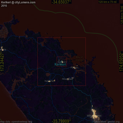
99.27%Clear (daylight) street map image can be seen on geolist.org.
Map coordinates:
34° 39' 1.3" South, 173° 14' 39.4" East
35° 13' 36.3" South, 173° 56' 50.6" East
35° 47' 56.7" South, 174° 39' 1.9" East
Some cities around Kerikeri sort by population:
• Auckland
194.7 km =121 mi,  157°
157°
• Manukau City
213.5 km =132.7 mi, 156°
• North Shore
189.2 km =117.6 mi, 157°
• Mangere
208.2 km =129.4 mi, 158°
• Whangarei
65.7 km =40.8 mi,  148°
148°
• Papakura
223.2 km =138.7 mi, 156°
• Takanini
219.9 km =136.6 mi, 157°
• Pakuranga
203.8 km =126.6 mi, 154°
2188874 (p: 5,654)
Sources (retrieved 2019-11-25):
» Earth at Night: Flat Maps 2012, 2016