Koné night lights from space
Night Light of Koné (North Province) from space (New Caledonia) Src. Average luminocity for 10x10km area is 6.0119% and for 50x50km: 0.8732%.
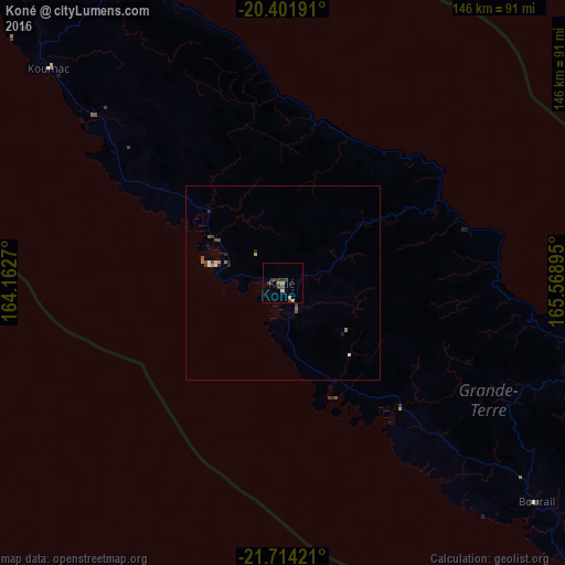
Analysis of Koné night lights 2016
Square area 10x10 km:
 0%
0%90-99
0.79%80-89
0%70-79
0.79%60-69
1.19%50-59
1.39%40-49
0.2%30-39
5.16%20-29
0.79%10-19
0.4%0-9
89.29%Square area 50x50 km:
0.03%90-99
0.13%80-89
0.03%70-79
0.11%60-69
0.19%50-59
0.15%40-49
0.18%30-39
0.31%20-29
0.2%10-19
0.07%0-9
98.6%Clear (daylight) street map image can be seen on geolist.org.
Map coordinates:
20° 24' 6.9" South, 164° 9' 45.7" East
21° 3' 34.2" South, 164° 51' 57" East
21° 42' 51.2" South, 165° 34' 8.2" East
Some cities around Koné sort by population:
• Nouméa
212.1 km =131.8 mi,  129°
129°
• Mont-Dore
220.8 km =137.2 mi, 127°
• Dumbéa
204.9 km =127.3 mi, 126°
• Païta
194.8 km =121 mi, 127°
• Wé
249.5 km =155 mi,  86°
86°
• Tadine
316.9 km =196.9 mi,  99°
99°
• La Foa
123.1 km =76.5 mi, 126°
• Isangel, VU
490.4 km =304.7 mi,  69°
69°
2140691 (p: 4,572)
Sources (retrieved 2019-11-25):
» Earth at Night: Flat Maps 2012, 2016