Villa de Arista night lights from space
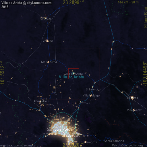
Night Light of Villa de Arista (San Luis Potosí) from space (Mexico) Src. Average luminocity for 10x10km area is 3.1567% and for 50x50km: 0.773%.
Analysis of Villa de Arista night lights 2016
Square area 10x10 km:
 0%
0%90-99
0%80-89
0.79%70-79
0.2%60-69
1.39%50-59
0%40-49
2.38%30-39
0%20-29
0%10-19
0%0-9
95.24%Square area 50x50 km:
0%90-99
0%80-89
0.1%70-79
0.02%60-69
0.18%50-59
0.13%40-49
0.51%30-39
0.32%20-29
0.12%10-19
0.14%0-9
98.48%Clear (daylight) street map image can be seen on geolist.org.
Map coordinates:
23° 17' 23.7" North, 101° 33' 4.4" West
22° 38' 33.1" North, 100° 50' 53.1" West
21° 59' 31.5" North, 100° 8' 41.9" West
Some cities around Villa de Arista sort by population:
• San Luis Potosí
56.4 km =35 mi,  193°
193°
• Soledad de Graciano Sánchez
51.3 km =31.9 mi, 190°
• Salinas de Hidalgo
88.9 km =55.2 mi,  268°
268°
• Cerritos
62.6 km =38.9 mi,  112°
112°
• Charcas
60.6 km =37.7 mi,  333°
333°
• La Pila
67.7 km =42.1 mi,  181°
181°
• Venado
40.8 km =25.4 mi,  321°
321°
• Pinos
84.1 km =52.3 mi,  242°
242°
4018251 (p: 7,575)
Sources (retrieved 2019-11-25):
» Earth at Night: Flat Maps 2012, 2016