San Luis Potosí night lights from space
Night Light of San Luis Potosí from space (Mexico) Src. Average luminocity for 10x10km area is 95.7738% and for 50x50km: 19.087%.
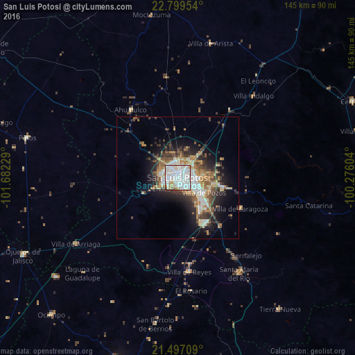
Analysis of San Luis Potosí night lights 2016
Square area 10x10 km:
 54.17%
90-99
32.94%80-89
3.57%70-79
5.36%60-69
2.18%50-59
1.19%40-49
0.6%30-39
0%20-29
0%10-19
0%0-9
0%Square area 50x50 km:
4.1%90-99
3.43%80-89
1.83%70-79
2.64%60-69
2.4%50-59
2.52%40-49
2.63%30-39
3.08%20-29
4.41%10-19
7.89%0-9
65.07%Clear (daylight) street map image can be seen on geolist.org.
Map coordinates:
22° 47' 58.3" North, 101° 40' 56.2" West
22° 8' 59.4" North, 100° 58' 45" West
21° 29' 49.5" North, 100° 16' 33.7" West
Some cities around San Luis Potosí sort by population:
• Soledad de Graciano Sánchez
6.1 km =3.8 mi,  44°
44°
• Santa María del Río
46.5 km =28.9 mi,  147°
147°
• Villa de Reyes
38.8 km =24.1 mi,  173°
173°
• Villa Zaragoza
28.5 km =17.7 mi,  116°
116°
• Villa de Arista
56.4 km =35 mi,  13°
13°
• La Pila
17.2 km =10.7 mi,  138°
138°
• San Bartolo de Berrios
60.5 km =37.6 mi,  188°
188°
• Villa de Arriaga
49.4 km =30.7 mi,  237°
237°
3985606 (p: 722,772)
Sources (retrieved 2019-11-25):
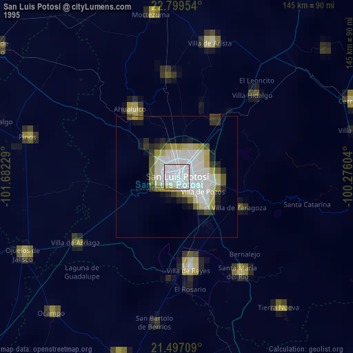
» NASA, Earths city lights 1995
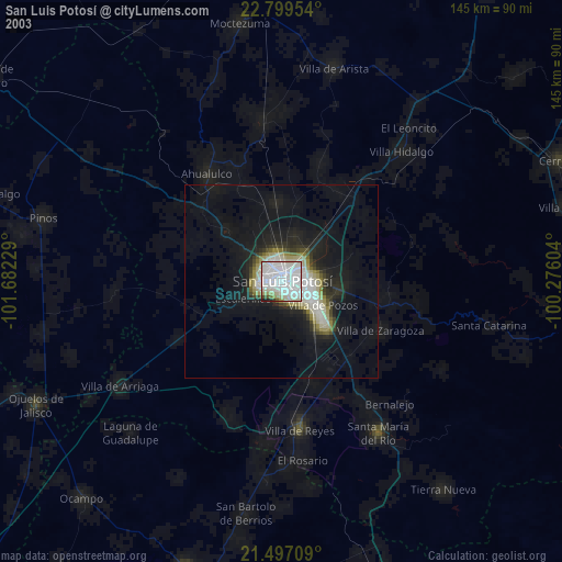
» NASA city lights 2003
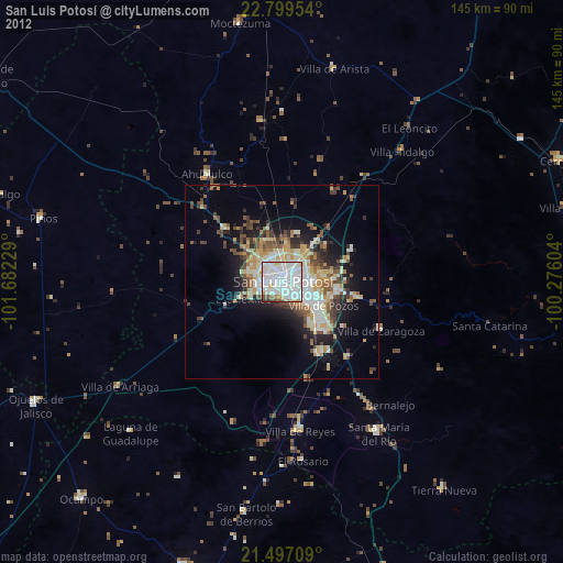
» Earth at Night: Flat Maps 2012, 2016