Venado night lights from space
Night Light of Venado (San Luis Potosí) from space (Mexico) Src. Average luminocity for 10x10km area is 3.494% and for 50x50km: 0.4648%.
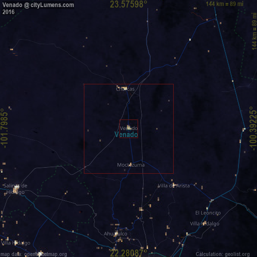
Analysis of Venado night lights 2016
Square area 10x10 km:
 0%
0%90-99
0%80-89
0%70-79
0.99%60-69
2.18%50-59
1.39%40-49
0.2%30-39
0%20-29
0.79%10-19
0%0-9
94.44%Square area 50x50 km:
0%90-99
0%80-89
0.08%70-79
0.12%60-69
0.15%50-59
0.1%40-49
0.09%30-39
0.06%20-29
0.1%10-19
0.13%0-9
99.18%Clear (daylight) street map image can be seen on geolist.org.
Map coordinates:
23° 34' 33.5" North, 101° 47' 54.6" West
22° 55' 47.9" North, 101° 5' 43.3" West
22° 16' 51.1" North, 100° 23' 32.1" West
Some cities around Venado sort by population:
• San Luis Potosí
87.6 km =54.4 mi,  172°
172°
• Soledad de Graciano Sánchez
83.9 km =52.1 mi, 168°
• Matehuala
92.2 km =57.3 mi,  30°
30°
• Salinas de Hidalgo
71.8 km =44.6 mi,  242°
242°
• Charcas
22.3 km =13.9 mi,  355°
355°
• Villa de Arista
40.8 km =25.4 mi,  141°
141°
• Villa González Ortega
96.1 km =59.7 mi, 241°
• Pinos
86.1 km =53.5 mi,  214°
214°
3980487 (p: 5,743)
Sources (retrieved 2019-11-25):
» Earth at Night: Flat Maps 2012, 2016