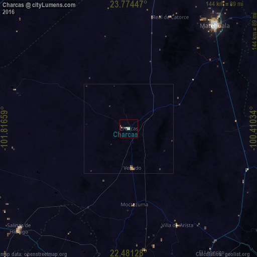
Charcas night lights from space
Night Light of Charcas (San Luis Potosí) from space (Mexico) Src. Average luminocity for 10x10km area is 4.9773% and for 50x50km: 0.412%.
Analysis of Charcas night lights 2016
Square area 10x10 km:
 0%
0%90-99
0%80-89
1.89%70-79
1.89%60-69
0.76%50-59
0%40-49
1.52%30-39
0%20-29
0%10-19
0%0-9
93.94%Square area 50x50 km:
0%90-99
0%80-89
0.08%70-79
0.12%60-69
0.12%50-59
0.05%40-49
0.07%30-39
0.06%20-29
0.13%10-19
0.09%0-9
99.28%Clear (daylight) street map image can be seen on geolist.org.
Map coordinates:
23° 46' 28.1" North, 101° 48' 59.7" West
23° 7' 45.9" North, 101° 6' 48.5" West
22° 28' 52.6" North, 100° 24' 37.2" West
Some cities around Charcas sort by population:
• Soledad de Graciano Sánchez
106.1 km =65.9 mi,  170°
170°
• Matehuala
75 km =46.6 mi,  39°
39°
• Salinas de Hidalgo
83 km =51.6 mi,  227°
227°
• Cedral
86.5 km =53.7 mi,  27°
27°
• Villa de Arista
60.6 km =37.7 mi,  153°
153°
• Los Zacatones
98.2 km =61 mi,  259°
259°
• Venado
22.3 km =13.9 mi,  175°
175°
• Pinos
104.1 km =64.7 mi,  207°
207°
4014501 (p: 12,748)
Sources (retrieved 2019-11-25):
» Earth at Night: Flat Maps 2012, 2016