La Pila night lights from space
Night Light of La Pila (San Luis Potosí) from space (Mexico) Src. Average luminocity for 10x10km area is 54.3591% and for 50x50km: 19.3916%.
Analysis of La Pila night lights 2016
Square area 10x10 km:
 8.53%
8.53%90-99
10.32%80-89
6.35%70-79
4.96%60-69
14.48%50-59
5.95%40-49
10.91%30-39
8.53%20-29
18.85%10-19
11.11%0-9
0%Square area 50x50 km:
4.2%90-99
3.53%80-89
1.85%70-79
2.8%60-69
2.48%50-59
2.6%40-49
2.75%30-39
2.88%20-29
4.53%10-19
7.11%0-9
65.28%Clear (daylight) street map image can be seen on geolist.org.
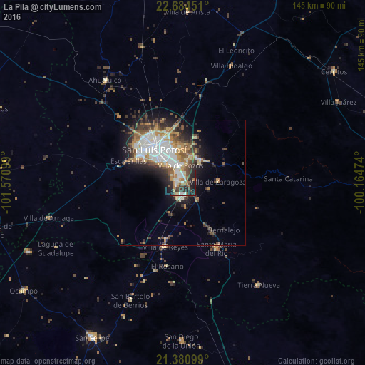
Map coordinates:
22° 41' 4.2" North, 101° 34' 15.6" West
22° 2' 3.3" North, 100° 52' 4.3" West
21° 22' 51.6" North, 100° 9' 53.1" West
Some cities around La Pila sort by population:
• San Luis Potosí
17.2 km =10.7 mi,  318°
318°
• Soledad de Graciano Sánchez
18.7 km =11.6 mi,  337°
337°
• Santa María del Río
29.7 km =18.5 mi,  153°
153°
• Villa de Reyes
26.6 km =16.5 mi,  194°
194°
• Villa Zaragoza
14.1 km =8.8 mi,  88°
88°
• San Bartolo de Berrios
51.3 km =31.9 mi,  203°
203°
• Villa de Arriaga
54.8 km =34.1 mi,  255°
255°
• Tierra Nueva
50.8 km =31.6 mi,  143°
143°
4000811 (p: 6,722)
Sources (retrieved 2019-11-25):
» Earth at Night: Flat Maps 2012, 2016