Matehuala night lights from space
Night Light of Matehuala (San Luis Potosí) from space (Mexico) Src. Average luminocity for 10x10km area is 41.8393% and for 50x50km: 2.9617%.
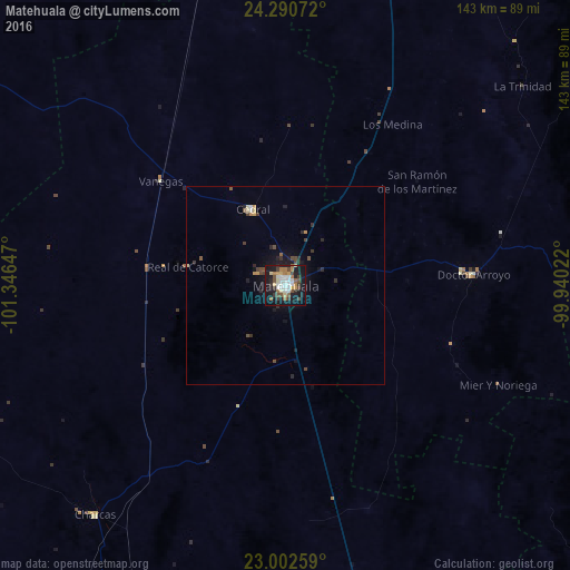
Analysis of Matehuala night lights 2016
Square area 10x10 km:
 7.54%
7.54%90-99
8.13%80-89
5.16%70-79
3.37%60-69
6.55%50-59
3.97%40-49
7.34%30-39
6.75%20-29
6.35%10-19
38.69%0-9
6.15%Square area 50x50 km:
0.33%90-99
0.37%80-89
0.33%70-79
0.29%60-69
0.3%50-59
0.29%40-49
0.72%30-39
0.49%20-29
0.75%10-19
2.61%0-9
93.51%Clear (daylight) street map image can be seen on geolist.org.
Map coordinates:
24° 17' 26.6" North, 101° 20' 47.3" West
23° 38' 53.7" North, 100° 38' 36" West
23° 0' 9.3" North, 99° 56' 24.8" West
Some cities around Matehuala sort by population:
• Charcas
75 km =46.6 mi,  219°
219°
• Cedral
20.9 km =13 mi,  336°
336°
• Doctor Arroyo
47.1 km =29.3 mi,  86°
86°
• Ciudad Tula
119.6 km =74.3 mi,  127°
127°
• Villa de Arista
113.8 km =70.7 mi,  190°
190°
• Concepción del Oro
133 km =82.6 mi,  323°
323°
• Venado
92.2 km =57.3 mi,  210°
210°
• Jaumave
131.5 km =81.7 mi,  101°
101°
3996387 (p: 77,328)
Sources (retrieved 2019-11-25):
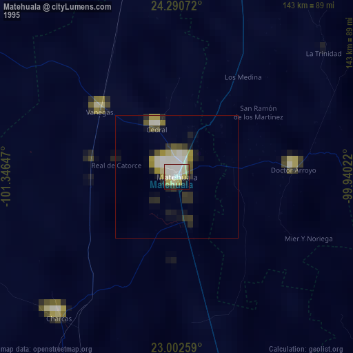
» NASA, Earths city lights 1995
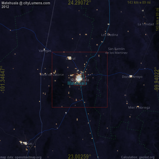
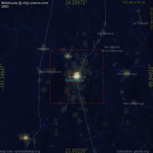
» NASA city lights 2003
» Earth at Night: Flat Maps 2012, 2016