Cedral night lights from space
Night Light of Cedral (San Luis Potosí) from space (Mexico) Src. Average luminocity for 10x10km area is 8.0278% and for 50x50km: 2.9631%.
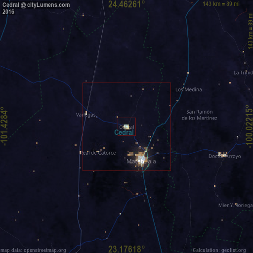
Analysis of Cedral night lights 2016
Square area 10x10 km:
 0.79%
0.79%90-99
1.19%80-89
1.98%70-79
1.79%60-69
0.6%50-59
0.2%40-49
1.39%30-39
0.79%20-29
0.79%10-19
0%0-9
90.48%Square area 50x50 km:
0.33%90-99
0.37%80-89
0.36%70-79
0.31%60-69
0.33%50-59
0.31%40-49
0.65%30-39
0.53%20-29
0.77%10-19
2.48%0-9
93.57%Clear (daylight) street map image can be seen on geolist.org.
Map coordinates:
24° 27' 45.4" North, 101° 25' 42.2" West
23° 49' 15.6" North, 100° 43' 31" West
23° 10' 34.2" North, 100° 1' 19.7" West
Some cities around Cedral sort by population:
• Matehuala
20.9 km =13 mi,  156°
156°
• Charcas
86.5 km =53.7 mi,  207°
207°
• Doctor Arroyo
57.8 km =35.9 mi,  106°
106°
• Ciudad Tula
138.2 km =85.9 mi,  131°
131°
• Villa de Arista
131.6 km =81.8 mi,  185°
185°
• Concepción del Oro
112.7 km =70 mi,  321°
321°
• Galeana
129.5 km =80.5 mi,  30°
30°
• Venado
106 km =65.9 mi,  200°
200°
4014914 (p: 11,468)
Sources (retrieved 2019-11-25):
» Earth at Night: Flat Maps 2012, 2016