Salima night lights from space
Night Light of Salima (Central Region) from space (Malawi) Src. Average luminocity for 10x10km area is 6.1942% and for 50x50km: 0.3251%.
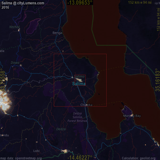
Analysis of Salima night lights 2016
Square area 10x10 km:
 0%
0%90-99
0%80-89
0%70-79
0%60-69
2.89%50-59
2.07%40-49
2.48%30-39
3.72%20-29
0.41%10-19
0%0-9
88.43%Square area 50x50 km:
0%90-99
0%80-89
0%70-79
0%60-69
0.12%50-59
0.12%40-49
0.13%30-39
0.22%20-29
0.04%10-19
0.07%0-9
99.31%Clear (daylight) street map image can be seen on geolist.org.
Map coordinates:
13° 5' 47.5" South, 33° 45' 20.1" East
13° 46' 49.4" South, 34° 27' 31.3" East
14° 27' 44.2" South, 35° 9' 42.6" East
Some cities around Salima sort by population:
• Lilongwe
75.4 km =46.9 mi,  254°
254°
• Lichinga, MZ
99.2 km =61.6 mi,  58°
58°
• Nkhotakota
96.5 km =60 mi,  349°
349°
• Dedza
67.8 km =42.1 mi,  191°
191°
• Monkey Bay
59.7 km =37.1 mi,  124°
124°
• Mponela
82.4 km =51.2 mi,  289°
289°
• Ntchisi
65.1 km =40.5 mi,  295°
295°
• Dowa
58 km =36 mi,  284°
284°
924055 (p: 30,052)
Sources (retrieved 2019-11-25):
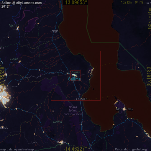
» Earth at Night: Flat Maps 2012, 2016