Dowa night lights from space
Night Light of Dowa (Central Region) from space (Malawi) Src. Average luminocity for 10x10km area is 1.188% and for 50x50km: 1.1372%.
Analysis of Dowa night lights 2016
Square area 10x10 km:
 0%
0%90-99
0%80-89
0%70-79
0%60-69
0%50-59
0%40-49
1.03%30-39
1.03%20-29
0.62%10-19
0.62%0-9
96.69%Square area 50x50 km:
0.06%90-99
0.05%80-89
0.02%70-79
0.13%60-69
0.09%50-59
0.4%40-49
0.18%30-39
0.35%20-29
0.28%10-19
1.12%0-9
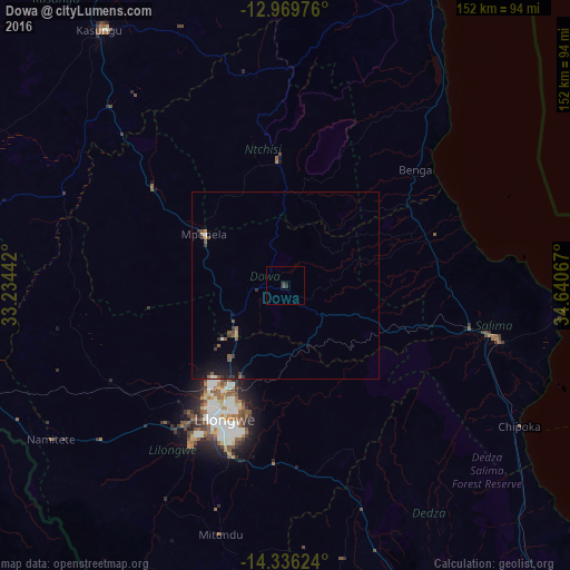
97.32%Clear (daylight) street map image can be seen on geolist.org.
Map coordinates:
12° 58' 11.1" South, 33° 14' 3.9" East
13° 39' 14.4" South, 33° 56' 15.1" East
14° 20' 10.5" South, 34° 38' 26.4" East
Some cities around Dowa sort by population:
• Lilongwe
38.4 km =23.9 mi,  205°
205°
• Kasungu
84.7 km =52.6 mi,  324°
324°
• Salima
58 km =36 mi,  104°
104°
• Nkhotakota
89.6 km =55.7 mi,  25°
25°
• Mchinji
115.3 km =71.6 mi,  261°
261°
• Dedza
91.1 km =56.6 mi,  152°
152°
• Mponela
25.3 km =15.7 mi,  302°
302°
• Ntchisi
14.2 km =8.8 mi,  350°
350°
929977 (p: 5,565)
Sources (retrieved 2019-11-25):
» Earth at Night: Flat Maps 2012, 2016