Fonadhoo night lights from space
Night Light of Fonadhoo (Laamu) from space (Maldives) Src. Average luminocity for 10x10km area is 2.8442% and for 50x50km: 0.2772%.
Analysis of Fonadhoo night lights 2016
Square area 10x10 km:
 0%
0%90-99
0.43%80-89
0%70-79
1.3%60-69
0.87%50-59
0.22%40-49
0.65%30-39
0%20-29
0%10-19
0%0-9
96.54%Square area 50x50 km:
0%90-99
0.03%80-89
0%70-79
0.07%60-69
0.1%50-59
0.05%40-49
0.1%30-39
0.03%20-29
0.03%10-19
0.01%0-9
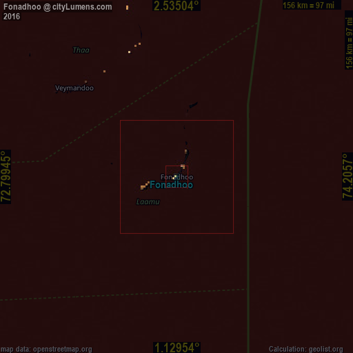
99.58%Clear (daylight) street map image can be seen on geolist.org.
Map coordinates:
2° 32' 6.1" North, 72° 47' 58" East
1° 49' 56.7" North, 73° 30' 9.3" East
1° 7' 46.3" North, 74° 12' 20.5" East
Some cities around Fonadhoo sort by population:
• Fuvahmulah
237.1 km =147.3 mi,  182°
182°
• Thinadhoo
155.2 km =96.4 mi,  201°
201°
• Viligili
119.6 km =74.3 mi, 183°
• Mahibadhoo
222.1 km =138 mi,  344°
344°
• Kudahuvadhoo
115.1 km =71.5 mi,  324°
324°
• Veymandoo
60.1 km =37.3 mi,  311°
311°
• Muli
120.8 km =75.1 mi,  3°
3°
• Felidhoo
182.3 km =113.3 mi, 1°
7874641 (p: 1,773)
Sources (retrieved 2019-11-25):
» Earth at Night: Flat Maps 2012, 2016