Viligili night lights from space
Night Light of Viligili (Gaafu Alifu Atholhu) from space (Maldives) Src. Average luminocity for 10x10km area is 2.2727% and for 50x50km: 0.1057%.
Analysis of Viligili night lights 2016
Square area 10x10 km:
 0%
0%90-99
0%80-89
0%70-79
1.08%60-69
0.65%50-59
0.87%40-49
0.87%30-39
0%20-29
0%10-19
0%0-9
96.54%Square area 50x50 km:
0%90-99
0%80-89
0%70-79
0.04%60-69
0.03%50-59
0.03%40-49
0.03%30-39
0.03%20-29
0%10-19
0%0-9
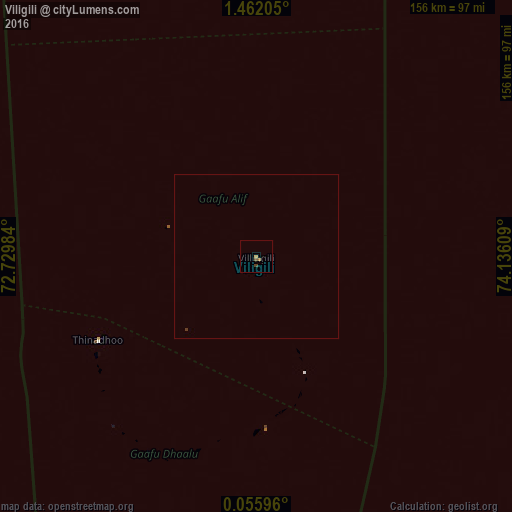
99.83%Clear (daylight) street map image can be seen on geolist.org.
Map coordinates:
1° 27' 43.4" North, 72° 43' 47.4" East
0° 45' 32.6" North, 73° 25' 58.7" East
0° 3' 21.5" North, 74° 8' 9.9" East
Some cities around Viligili sort by population:
• Fuvahmulah
117.6 km =73.1 mi,  180°
180°
• Hithadhoo
156 km =96.9 mi,  194°
194°
• Thinadhoo
54.5 km =33.9 mi,  242°
242°
• Fonadhoo
119.6 km =74.3 mi,  3°
3°
• Kudahuvadhoo
220.8 km =137.2 mi,  344°
344°
• Veymandoo
163.2 km =101.4 mi,  346°
346°
• Muli
240.4 km =149.4 mi, 3°
• Felidhoo
301.9 km =187.6 mi, 2°
1337609 (p: 2,925)
Sources (retrieved 2019-11-25):
» Earth at Night: Flat Maps 2012, 2016