Felidhoo night lights from space
Night Light of Felidhoo (Vaavu Atholhu) from space (Maldives) Src. Average luminocity for 10x10km area is 0.6017% and for 50x50km: 0.0388%.
Analysis of Felidhoo night lights 2016
Square area 10x10 km:
 0%
0%90-99
0%80-89
0%70-79
0%60-69
0.87%50-59
0%40-49
0%30-39
0%20-29
0%10-19
0%0-9
99.13%Square area 50x50 km:
0%90-99
0%80-89
0%70-79
0%60-69
0.03%50-59
0%40-49
0%30-39
0.03%20-29
0%10-19
0%0-9
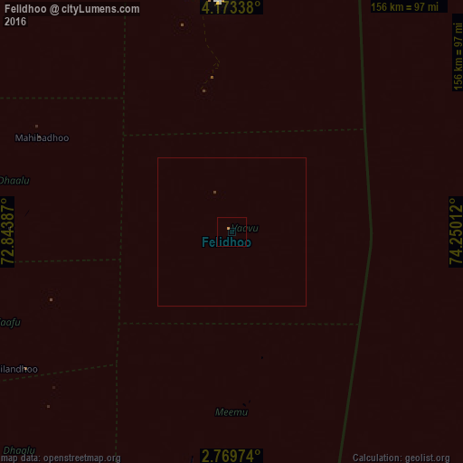
99.93%Clear (daylight) street map image can be seen on geolist.org.
Map coordinates:
4° 10' 24.2" North, 72° 50' 37.9" East
3° 28' 18.6" North, 73° 32' 49.2" East
2° 46' 11.1" North, 74° 15' 0.4" East
Some cities around Felidhoo sort by population:
• Male
78.3 km =48.7 mi,  356°
356°
• Naifaru
220.2 km =136.8 mi,  354°
354°
• Eydhafushi
188.9 km =117.4 mi,  343°
343°
• Mahibadhoo
71.6 km =44.5 mi,  296°
296°
• Fonadhoo
182.3 km =113.3 mi,  181°
181°
• Kudahuvadhoo
114.8 km =71.3 mi,  219°
219°
• Veymandoo
151.3 km =94 mi,  199°
199°
• Muli
61.8 km =38.4 mi, 177°
1337623 (p: 541)
Sources (retrieved 2019-11-25):
» Earth at Night: Flat Maps 2012, 2016