Muli night lights from space
Night Light of Muli (Meemu Atholhu) from space (Maldives) Src. Average luminocity for 10x10km area is 0% and for 50x50km: 0%.
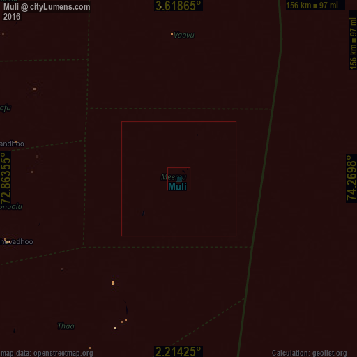
Analysis of Muli night lights 2016
Square area 10x10 km:
 0%
0%90-99
0%80-89
0%70-79
0%60-69
0%50-59
0%40-49
0%30-39
0%20-29
0%10-19
0%0-9
100%Square area 50x50 km:
0%90-99
0%80-89
0%70-79
0%60-69
0%50-59
0%40-49
0%30-39
0%20-29
0%10-19
0%0-9
100%Clear (daylight) street map image can be seen on geolist.org.
Map coordinates:
3° 37' 7.1" North, 72° 51' 48.8" East
2° 55' 0" North, 73° 34' 0" East
2° 12' 51.3" North, 74° 16' 11.3" East
Some cities around Muli sort by population:
• Male
140.1 km =87.1 mi,  357°
357°
• Viligili
240.4 km =149.4 mi,  183°
183°
• Eydhafushi
249.3 km =154.9 mi,  347°
347°
• Mahibadhoo
114.6 km =71.2 mi,  324°
324°
• Fonadhoo
120.8 km =75.1 mi, 183°
• Kudahuvadhoo
79.5 km =49.4 mi,  249°
249°
• Veymandoo
96.5 km =60 mi,  212°
212°
• Felidhoo
61.8 km =38.4 mi, 357°
1337617 (p: 1,008)
Sources (retrieved 2019-11-25):
» Earth at Night: Flat Maps 2012, 2016