Mahibadhoo night lights from space
Night Light of Mahibadhoo (Southern Ari Atoll) from space (Maldives) Src. Average luminocity for 10x10km area is 0.5043% and for 50x50km: 0.0202%.
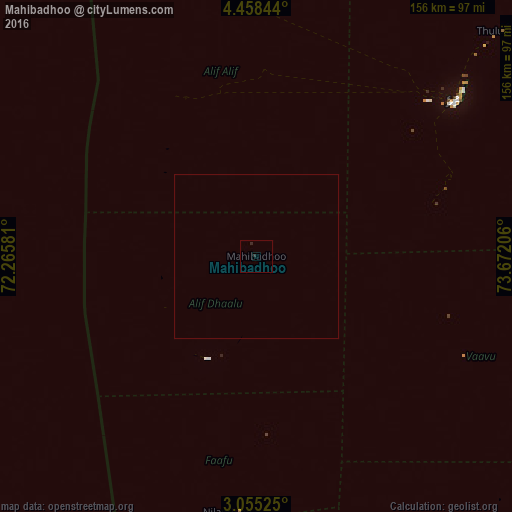
Analysis of Mahibadhoo night lights 2016
Square area 10x10 km:
 0%
0%90-99
0%80-89
0%70-79
0%60-69
0%50-59
0%40-49
0%30-39
0%20-29
1.73%10-19
0%0-9
98.27%Square area 50x50 km:
0%90-99
0%80-89
0%70-79
0%60-69
0%50-59
0%40-49
0%30-39
0%20-29
0.07%10-19
0%0-9
99.93%Clear (daylight) street map image can be seen on geolist.org.
Map coordinates:
4° 27' 30.4" North, 72° 15' 56.9" East
3° 45' 25.7" North, 72° 58' 8.1" East
3° 3' 18.9" North, 73° 40' 19.4" East
Some cities around Mahibadhoo sort by population:
• Male
75.8 km =47.1 mi,  52°
52°
• Naifaru
192.7 km =119.7 mi,  13°
13°
• Eydhafushi
150.1 km =93.3 mi,  4°
4°
• Ugoofaaru
212.6 km =132.1 mi, 1°
• Kudahuvadhoo
121.1 km =75.2 mi,  183°
183°
• Veymandoo
175.1 km =108.8 mi, 175°
• Muli
114.6 km =71.2 mi,  144°
144°
• Felidhoo
71.6 km =44.5 mi,  116°
116°
1337605 (p: 2,156)
Sources (retrieved 2019-11-25):
» Earth at Night: Flat Maps 2012, 2016