Veymandoo night lights from space
Night Light of Veymandoo (Thaa Atholhu) from space (Maldives) Src. Average luminocity for 10x10km area is 0.1212% and for 50x50km: 0.0592%.
Analysis of Veymandoo night lights 2016
Square area 10x10 km:
 0%
0%90-99
0%80-89
0%70-79
0%60-69
0%50-59
0%40-49
0%30-39
0%20-29
0.43%10-19
0%0-9
99.57%Square area 50x50 km:
0%90-99
0.03%80-89
0%70-79
0%60-69
0%50-59
0.03%40-49
0%30-39
0%20-29
0.03%10-19
0%0-9
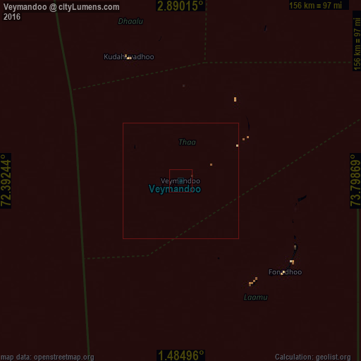
99.9%Clear (daylight) street map image can be seen on geolist.org.
Map coordinates:
2° 53' 24.5" North, 72° 23' 32.8" East
2° 11' 15.8" North, 73° 5' 44" East
1° 29' 5.9" North, 73° 47' 55.3" East
Some cities around Veymandoo sort by population:
• Male
225.7 km =140.2 mi,  11°
11°
• Thinadhoo
184.6 km =114.7 mi,  183°
183°
• Viligili
163.2 km =101.4 mi,  166°
166°
• Mahibadhoo
175.1 km =108.8 mi,  355°
355°
• Fonadhoo
60.1 km =37.3 mi,  131°
131°
• Kudahuvadhoo
58.2 km =36.2 mi,  337°
337°
• Muli
96.5 km =60 mi,  32°
32°
• Felidhoo
151.3 km =94 mi,  19°
19°
1337622 (p: 1,100)
Sources (retrieved 2019-11-25):
» Earth at Night: Flat Maps 2012, 2016