Kudahuvadhoo night lights from space
Night Light of Kudahuvadhoo (Dhaalu Atholhu) from space (Maldives) Src. Average luminocity for 10x10km area is 1.9848% and for 50x50km: 0.0852%.
Analysis of Kudahuvadhoo night lights 2016
Square area 10x10 km:
 0%
0%90-99
0%80-89
0.43%70-79
0.43%60-69
0.87%50-59
0.87%40-49
0%30-39
0%20-29
0%10-19
0%0-9
97.4%Square area 50x50 km:
0%90-99
0%80-89
0.02%70-79
0.02%60-69
0.03%50-59
0.03%40-49
0%30-39
0%20-29
0%10-19
0.03%0-9
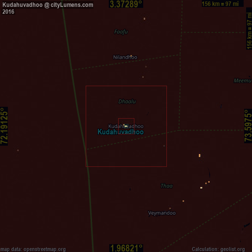
99.86%Clear (daylight) street map image can be seen on geolist.org.
Map coordinates:
3° 22' 22.4" North, 72° 11' 28.5" East
2° 40' 14.7" North, 72° 53' 39.7" East
1° 58' 5.6" North, 73° 35' 51" East
Some cities around Kudahuvadhoo sort by population:
• Male
180.7 km =112.3 mi,  22°
22°
• Thinadhoo
238.3 km =148.1 mi,  177°
177°
• Viligili
220.8 km =137.2 mi,  164°
164°
• Mahibadhoo
121.1 km =75.2 mi,  3°
3°
• Fonadhoo
115.1 km =71.5 mi,  144°
144°
• Veymandoo
58.2 km =36.2 mi, 157°
• Muli
79.5 km =49.4 mi,  69°
69°
• Felidhoo
114.8 km =71.3 mi,  39°
39°
1337607 (p: 1,562)
Sources (retrieved 2019-11-25):
» Earth at Night: Flat Maps 2012, 2016