Fuvahmulah night lights from space
Night Light of Fuvahmulah (Gnyaviyani Atoll) from space (Maldives) Src. Average luminocity for 10x10km area is 2.2944% and for 50x50km: 0.0917%.
Analysis of Fuvahmulah night lights 2016
Square area 10x10 km:
 0%
0%90-99
0.22%80-89
0.65%70-79
0%60-69
0.87%50-59
0.22%40-49
1.52%30-39
0%20-29
0%10-19
0%0-9
96.54%Square area 50x50 km:
0%90-99
0.01%80-89
0.03%70-79
0%60-69
0.03%50-59
0.01%40-49
0.06%30-39
0%20-29
0%10-19
0%0-9
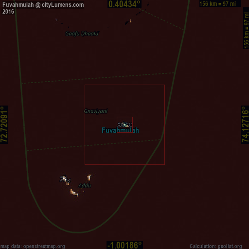
99.86%Clear (daylight) street map image can be seen on geolist.org.
Map coordinates:
0° 24' 15.6" North, 72° 43' 15.3" East
0° 17' 55.6" South, 73° 25' 26.5" East
1° 0' 6.7" South, 74° 7' 37.8" East
Some cities around Fuvahmulah sort by population:
• Hithadhoo
50.6 km =31.4 mi,  228°
228°
• Thinadhoo
103.6 km =64.4 mi,  332°
332°
• Viligili
117.6 km =73.1 mi,  0°
0°
• Fonadhoo
237.1 km =147.3 mi, 2°
• Kudahuvadhoo
335.4 km =208.4 mi,  349°
349°
• Veymandoo
278.9 km =173.3 mi, 352°
• Muli
357.9 km =222.4 mi, 2°
• Felidhoo
419.5 km =260.7 mi, 1°
1337611 (p: 11,140)
Sources (retrieved 2019-11-25):
» Earth at Night: Flat Maps 2012, 2016