Thinadhoo night lights from space
Night Light of Thinadhoo (Gaafu Dhaalu Atholhu) from space (Maldives) Src. Average luminocity for 10x10km area is 2.3506% and for 50x50km: 0.0947%.
Analysis of Thinadhoo night lights 2016
Square area 10x10 km:
 0%
0%90-99
0.87%80-89
0.87%70-79
0%60-69
0%50-59
0%40-49
0.87%30-39
0%20-29
0%10-19
0%0-9
97.4%Square area 50x50 km:
0%90-99
0.03%80-89
0.03%70-79
0%60-69
0%50-59
0%40-49
0.03%30-39
0%20-29
0%10-19
0%0-9
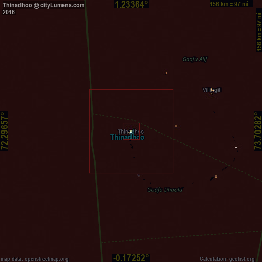
99.9%Clear (daylight) street map image can be seen on geolist.org.
Map coordinates:
1° 14' 1.1" North, 72° 17' 47.7" East
0° 31' 50.2" North, 72° 59' 58.9" East
0° 10' 21.1" South, 73° 42' 10.2" East
Some cities around Thinadhoo sort by population:
• Fuvahmulah
103.6 km =64.4 mi,  152°
152°
• Hithadhoo
126.1 km =78.4 mi,  175°
175°
• Viligili
54.5 km =33.9 mi,  62°
62°
• Fonadhoo
155.2 km =96.4 mi,  21°
21°
• Kudahuvadhoo
238.3 km =148.1 mi,  357°
357°
• Veymandoo
184.6 km =114.7 mi,  3°
3°
• Muli
272.7 km =169.4 mi,  13°
13°
• Felidhoo
332.6 km =206.7 mi, 10°
1337610 (p: 6,376)
Sources (retrieved 2019-11-25):
» Earth at Night: Flat Maps 2012, 2016