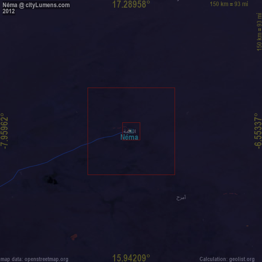
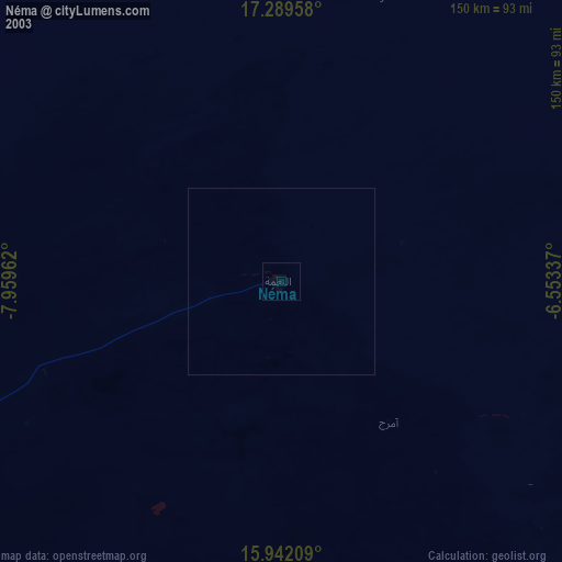
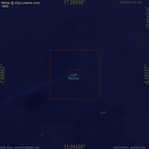
Néma night lights from space
Night Light of Néma (Hodh Ech Chargi) from space (Mauritania) Src. Average luminocity for 10x10km area is 0.29% and for 50x50km: 0.0112%.

Analysis of Néma night lights 2016
Square area 10x10 km:
 0%
0%90-99
0%80-89
0%70-79
0%60-69
0%50-59
0%40-49
0%30-39
0.87%20-29
0%10-19
0%0-9
99.13%Square area 50x50 km:
0%90-99
0%80-89
0%70-79
0%60-69
0%50-59
0%40-49
0%30-39
0.03%20-29
0%10-19
0%0-9
99.97%Clear (daylight) street map image can be seen on geolist.org.
Map coordinates:
17° 17' 22.5" North, 7° 57' 34.6" West
16° 37' 1.3" North, 7° 15' 23.4" West
15° 56' 31.5" North, 6° 33' 12.1" West
Some cities around Néma sort by population:
• Ségou, ML
371.4 km =230.8 mi,  162°
162°
• Markala, ML
348.4 km =216.5 mi, 158°
• Kolokani, ML
348.6 km =216.6 mi,  193°
193°
• Banamba, ML
341.9 km =212.4 mi,  183°
183°
• Aioun
251.3 km =156.2 mi,  271°
271°
• Ké-Macina, ML
358.4 km =222.7 mi,  145°
145°
• Ténenkou, ML
347.1 km =215.7 mi,  133°
133°
• Niafunké, ML
356.8 km =221.7 mi,  102°
102°
2377539 (p: 60,000)
Sources (retrieved 2019-11-25):
» NASA, Earths city lights 1995
» NASA city lights 2003
» Earth at Night: Flat Maps 2012, 2016