Kolokani night lights from space
Night Light of Kolokani (Koulikoro) from space (Mali) Src. Average luminocity for 10x10km area is 0% and for 50x50km: 0%.

Analysis of Kolokani night lights 2016
Square area 10x10 km:
100  0%
0%
90-99 0%
80-89 0%
70-79 0%
60-69 0%
50-59 0%
40-49 0%
30-39 0%
20-29 0%
10-19 0%
0-9 100%
0%90-99
0%80-89
0%70-79
0%60-69
0%50-59
0%40-49
0%30-39
0%20-29
0%10-19
0%0-9
100%Square area 50x50 km:
100 0%
90-99 0%
80-89 0%
70-79 0%
60-69 0%
50-59 0%
40-49 0%
30-39 0%
20-29 0%
10-19 0%
0-9 100%
0%90-99
0%80-89
0%70-79
0%60-69
0%50-59
0%40-49
0%30-39
0%20-29
0%10-19
0%0-9
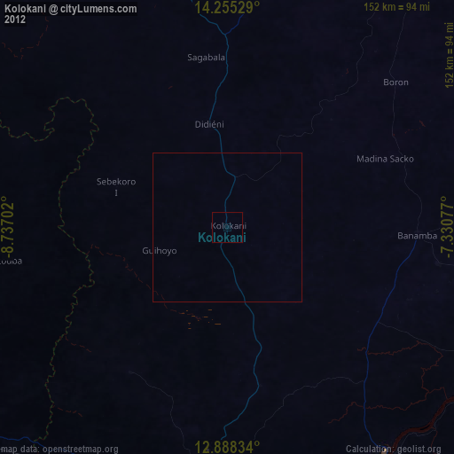
100%Clear (daylight) street map image can be seen on geolist.org.
Map coordinates:
14° 15' 19" North, 8° 44' 13.3" West
13° 34' 22.1" North, 8° 2' 2" West
12° 53' 18" North, 7° 19' 50.8" West
Some cities around Kolokani sort by population:
• Bamako
102.7 km =63.8 mi,  177°
177°
• Ségou
197.2 km =122.5 mi,  94°
94°
• Markala
213.1 km =132.4 mi, 86°
• Kati
92.2 km =57.3 mi, 182°
• Banamba
63.4 km =39.4 mi, 92°
• Koulikoro
94.2 km =58.5 mi,  146°
146°
• Kangaba
187 km =116.2 mi,  192°
192°
• Kita
168.5 km =104.7 mi,  249°
249°
2454955 (p: 48,774)
Sources (retrieved 2019-11-25):
» Earth at Night: Flat Maps 2012, 2016