Aioun night lights from space
Night Light of Aioun (Hodh El Gharbi) from space (Mauritania) Src. Average luminocity for 10x10km area is 0% and for 50x50km: 0%.
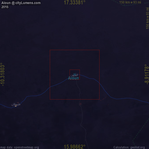
Analysis of Aioun night lights 2016
Square area 10x10 km:
 0%
0%90-99
0%80-89
0%70-79
0%60-69
0%50-59
0%40-49
0%30-39
0%20-29
0%10-19
0%0-9
100%Square area 50x50 km:
0%90-99
0%80-89
0%70-79
0%60-69
0%50-59
0%40-49
0%30-39
0%20-29
0%10-19
0%0-9
100%Clear (daylight) street map image can be seen on geolist.org.
Map coordinates:
17° 20' 1.7" North, 10° 19' 4.9" West
16° 39' 41" North, 9° 36' 53.6" West
15° 59' 11.8" North, 8° 54' 42.4" West
Some cities around Aioun sort by population:
• Kayes, ML
314.7 km =195.5 mi,  218°
218°
• Néma
251.3 km =156.2 mi,  91°
91°
• Kiffa
190.4 km =118.3 mi,  268°
268°
• Bafoulabé, ML
343.2 km =213.3 mi,  202°
202°
• Sélibaby
321.6 km =199.8 mi,  238°
238°
• Waoundé, SN
380.9 km =236.7 mi,  245°
245°
• Diawara, SN
362.4 km =225.2 mi, 239°
• Tidjikja
285.1 km =177.2 mi,  317°
317°
2381291 (p: 12,635)
Sources (retrieved 2019-11-25):
» Earth at Night: Flat Maps 2012, 2016