Niafunké night lights from space
Night Light of Niafunké (Tombouctou) from space (Mali) Src. Average luminocity for 10x10km area is 1.2706% and for 50x50km: 0.0591%.
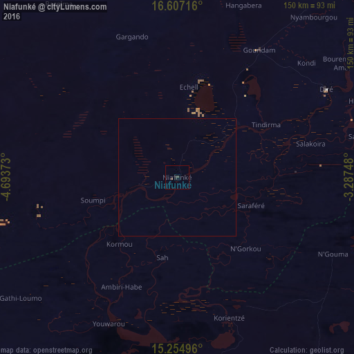
Analysis of Niafunké night lights 2016
Square area 10x10 km:
 0%
0%90-99
0%80-89
0%70-79
0%60-69
0%50-59
0%40-49
1.3%30-39
0.87%20-29
1.08%10-19
0.22%0-9
96.54%Square area 50x50 km:
0%90-99
0%80-89
0%70-79
0%60-69
0%50-59
0%40-49
0.05%30-39
0.03%20-29
0.04%10-19
0.01%0-9
99.87%Clear (daylight) street map image can be seen on geolist.org.
Map coordinates:
16° 36' 25.8" North, 4° 41' 37.4" West
15° 55' 55.9" North, 3° 59' 26.2" West
15° 15' 17.9" North, 3° 17' 14.9" West
Some cities around Niafunké sort by population:
• Mopti
162.3 km =100.8 mi,  187°
187°
• Timbuktu
140.5 km =87.3 mi,  48°
48°
• Djénné
233.3 km =145 mi,  195°
195°
• Ké-Macina
263.6 km =163.8 mi,  213°
213°
• Goundam
63.6 km =39.5 mi,  32°
32°
• Douentza
152.1 km =94.5 mi,  132°
132°
• Ténenkou
191.8 km =119.2 mi, 211°
• Bandiagara
180.6 km =112.2 mi,  166°
166°
2452830 (p: 6,901)
Sources (retrieved 2019-11-25):
» Earth at Night: Flat Maps 2012, 2016