Ténenkou night lights from space
Night Light of Ténenkou (Mopti) from space (Mali) Src. Average luminocity for 10x10km area is 0% and for 50x50km: 0%.
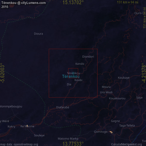
Analysis of Ténenkou night lights 2016
Square area 10x10 km:
 0%
0%90-99
0%80-89
0%70-79
0%60-69
0%50-59
0%40-49
0%30-39
0%20-29
0%10-19
0%0-9
100%Square area 50x50 km:
0%90-99
0%80-89
0%70-79
0%60-69
0%50-59
0%40-49
0%30-39
0%20-29
0%10-19
0%0-9
100%Clear (daylight) street map image can be seen on geolist.org.
Map coordinates:
15° 8' 13.3" North, 5° 37' 12.1" West
14° 27' 26" North, 4° 55' 0.8" West
13° 46' 31.2" North, 4° 12' 49.6" West
Some cities around Ténenkou sort by population:
• Mopti
79.1 km =49.2 mi,  87°
87°
• Ségou
180.7 km =112.3 mi,  230°
230°
• Markala
149.7 km =93 mi,  235°
235°
• San
128.3 km =79.7 mi,  178°
178°
• Djénné
72.7 km =45.2 mi,  147°
147°
• Ké-Macina
72.6 km =45.1 mi,  220°
220°
• Bandiagara
141.2 km =87.7 mi, 94°
• Kinmparana
179.6 km =111.6 mi, 180°
2449938 (p: 7,471)
Sources (retrieved 2019-11-25):
» Earth at Night: Flat Maps 2012, 2016