Ké-Macina night lights from space
Night Light of Ké-Macina (Ségou) from space (Mali) Src. Average luminocity for 10x10km area is 0.9525% and for 50x50km: 0.0381%.
Analysis of Ké-Macina night lights 2016
Square area 10x10 km:
 0%
0%90-99
0%80-89
0%70-79
0%60-69
0.83%50-59
0%40-49
0.62%30-39
0.21%20-29
0%10-19
0%0-9
98.35%Square area 50x50 km:
0%90-99
0%80-89
0%70-79
0%60-69
0.03%50-59
0%40-49
0.02%30-39
0.01%20-29
0%10-19
0%0-9
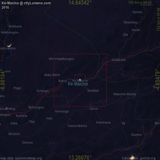
99.93%Clear (daylight) street map image can be seen on geolist.org.
Map coordinates:
14° 38' 43.5" North, 6° 3' 39.7" West
13° 57' 50.8" North, 5° 21' 28.5" West
13° 16' 50.7" North, 4° 39' 17.2" West
Some cities around Ké-Macina sort by population:
• Mopti
139.2 km =86.5 mi,  65°
65°
• Ségou
110 km =68.4 mi,  237°
237°
• Markala
81.8 km =50.8 mi,  249°
249°
• San
88.8 km =55.2 mi,  145°
145°
• Djénné
87.1 km =54.1 mi,  94°
94°
• Ntossoni
165.5 km =102.8 mi,  195°
195°
• Ténenkou
72.6 km =45.1 mi,  40°
40°
• Kinmparana
133.3 km =82.8 mi,  159°
159°
2455465 (p: 9,848)
Sources (retrieved 2019-11-25):
» Earth at Night: Flat Maps 2012, 2016