Banamba night lights from space
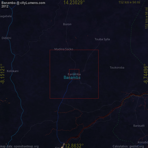
Night Light of Banamba (Koulikoro) from space (Mali) Src. Average luminocity for 10x10km area is 0% and for 50x50km: 0%.
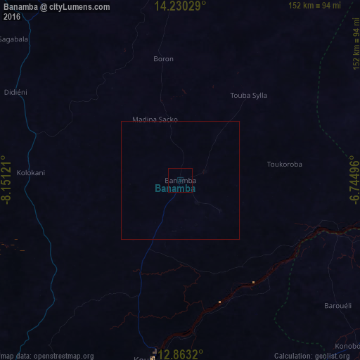
Analysis of Banamba night lights 2016
Square area 10x10 km:
 0%
0%90-99
0%80-89
0%70-79
0%60-69
0%50-59
0%40-49
0%30-39
0%20-29
0%10-19
0%0-9
100%Square area 50x50 km:
0%90-99
0%80-89
0%70-79
0%60-69
0%50-59
0%40-49
0%30-39
0%20-29
0%10-19
0%0-9
100%Clear (daylight) street map image can be seen on geolist.org.
Map coordinates:
14° 13' 49" North, 8° 9' 4.4" West
13° 32' 51.8" North, 7° 26' 53.1" West
12° 51' 47.5" North, 6° 44' 41.9" West
Some cities around Banamba sort by population:
• Bamako
116.3 km =72.3 mi,  210°
210°
• Ségou
133.9 km =83.2 mi,  95°
95°
• Markala
150.3 km =93.4 mi,  83°
83°
• Kolokani
63.4 km =39.4 mi,  272°
272°
• Kati
112.1 km =69.7 mi,  217°
217°
• Koulikoro
77.1 km =47.9 mi,  189°
189°
• Kangaba
208 km =129.2 mi, 210°
• Ntossoni
214.1 km =133 mi,  121°
121°
2460546 (p: 30,591)
Sources (retrieved 2019-11-25):
» Earth at Night: Flat Maps 2012, 2016